The U.S. Geological Survey salutes the European Space Agency (ESA) on the successful June 23 launch of its Sentinel-2A satellite, the second satellite to be launched in Europe’s Copernicus environment monitoring program.
“We are very pleased to have such a talented new player join the team in watching Earth from space,” said Suzette Kimball, acting USGS Director. “The aptly named Sentinel mission will help sharpen our focus on changes in Earth systems and contribute further insight to a great many global challenges at international to local scales, including food security, forest and wildlife conservation, and disaster response.”
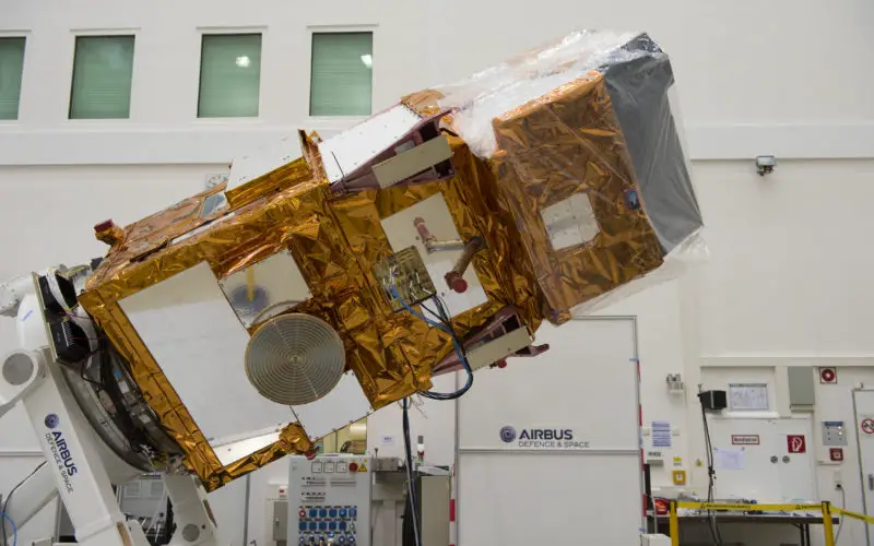
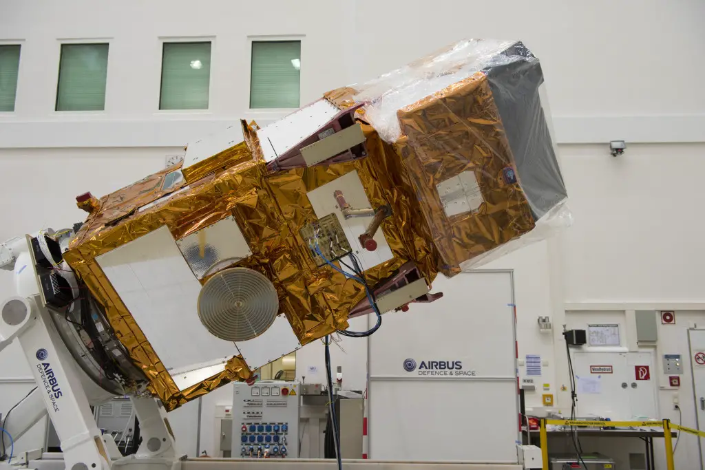
Sentinel 2A during test in IABG
Sentinel-2 imagery is expected to supply valuable parallels and counterparts to Landsat imagery provided by the United States. Before Sentinel-2A launched, USGS and ESA staff worked together at length to ensure that Sentinel-2 data would be as compatible as possible with Landsat data.
First launched by NASA in 1972, the Landsat series of satellites has produced the longest, continuous record of Earth’s land surface as seen from space. Landsat images have been used by scientists and resource managers to monitor water quality, glacier recession, coral reef health, land use change, deforestation rates, and population growth.
Landsat is a joint effort of USGS and NASA. NASA develops remote-sensing instruments and spacecraft, launches the satellites, and validates their performance. USGS develops the associated ground systems, then takes ownership and operates the satellites (since 2000), as well as managing data reception, archiving, and distribution. Landsat data were made available to all users free of charge under a policy change by the U.S. Department of the Interior and USGS in late 2008.
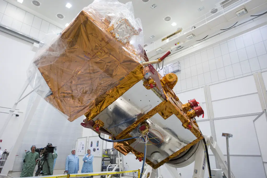
Sentinel 2A during test in IABG
Credit: ESA
“We are also pleased that a free and open data policy has been adopted for users of Sentinel data,”Kimball added. “Free, open access to Landsat and Sentinel-2 data together will create remarkable economic and scientific benefits for people around the globe.”
Designed as a two-satellite constellation – Sentinel-2A and -2B – the Sentinel-2 mission carries an innovative wide swath high-resolution multispectral imager with 13 spectral bands. However, it will not fully duplicate the Landsat data stream, which includes thermal measurements. Sentinel-1A, a satellite with radar-based instruments, was launched April 3, 2014.
Once it is fully operational following several months of on-orbit testing, Sentinel-2A alone could provide 10-day repeat coverage of Earth’s land areas. With Sentinel-2A data added to the 8-day coverage from Landsat 7/8 combined, users can look forward to better-than-weekly coverage at moderate resolution. Repeat coverage capabilities will further increase with the planned launch of a second Sentinel-2 satellite (Sentinel-2B) next year.
NASA has published an online comparison of Sentinel-2A and Landsat bandwidths.
Learn more:
Sentinel 2A liftoff (video – 4:32)
USGS Landsat
NASA Landsat
Landsat: Continuing to Improve Everyday Life