
Tag "Landsat-8"
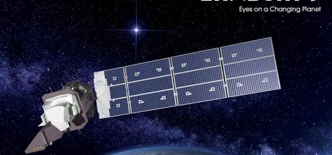
Landsat 9 Satellite – Latest and Powerful Satellite in the Landsat Series
Landsat 9 carries two science instruments – the Operational Land Imager 2, and Thermal Infrared Sensor 2.

Work Easier with Satellite Images – LandViewer Launches New Features
MENLO PARK, Calif. – The California-based company EOS have launched cloud based tool LandViewer, that allows non-expert users to select a geographic area for analysis, an earth observation data types,
Global Marketing Insights to Speak on Big Data Geospatial Analytics Platform at “Small Satellites Big Data Conference”
Cleveland, OH August 3, 2017 – Global Marketing Insights Inc., a pioneer in geospatial business intelligence and geospatial market research, will assist in demonstrating the big data processing capabilities of global-scale machine
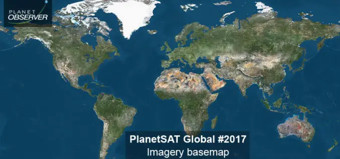
PlanetObserver Announces Release of PlanetSAT Global Imagery Basemap Version #2017
Clermont-Ferrand, France – 26 April 2017 – The French company PlanetObserver, supplier of geospatial data for all civil and military visualization and simulation applications, and GIS solutions, announces the release
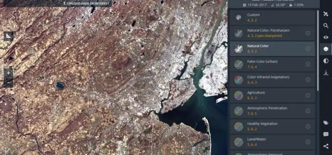
Land Viewer: On-the-Fly Earth Observation Imagery Analytics in Your Browser
Data Scientists, GIS Engineers and Software Developers from California-based company EOS have recently launched the most advanced cloud based tool to allow users, journalists, researchers, and students easily search and
ISRO and USGS Signed MoU for Cooperation in Exchange on Remote Sensing Data
New Delhi, (PTI) – A Memorandum of Understanding (MoU) has been signed between Indian Space Research Organisation (ISRO) and United States Geological Survey (USGS) for cooperation in the exchange and
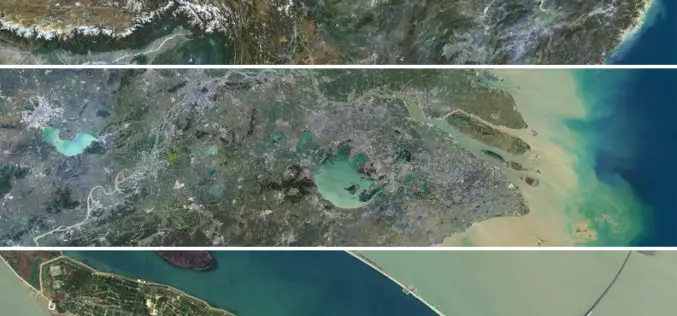
Release of PlanetSAT 15 L8 imagery Basemap of Asia by PlanetObserver
Clermont-Ferrand, 12 October 2016 – The French company PlanetObserver, specialized in imagery basemap production for more than 25 years, announced today the coverage of Asia with PlanetSAT 15 L8 basemap,
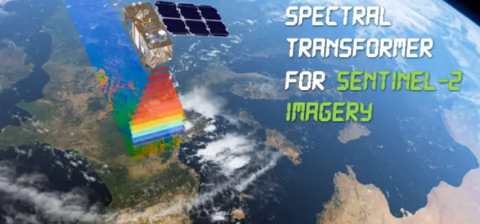
Spectral Transformer for Sentinel-2 Imagery Just Released
In a recent update, GeoSage has just released a software tool for the ESA’s 10m-resolution Sentinel-2 imagery. As many of you already know, the Sentinel-2 satellite is equipped with even more

Geomatica 2016 Release Highlights
Geomatica 2016 Release Highlights March 15, 2016 | 4:00 AM EST – 9:00 AM (GMT) | 2:00 PM EST – 7:00 PM (GMT) PCI Geomatics is the developer of Geomatica- a complete
Combining SAR and Optical Imagery for Mapping and Change Detection
PCI Geomatica Webinar: Combining SAR and Optical Imagery for Mapping and Change Detection February 25, 2016 | 4:00 AM EST – 9:00 AM (GMT) | 2:00 PM EST – 7:00 PM (GMT) PCI
