 Dec. 16, 2014, India – The Survey of India would soon begin work to map and survey Ganga river at an estimated cost of Rs 542 crore that will determine the sources of pollution along its basin, a top official said.
“Ministry of Water Resources has consulted us to do the survey of Ganga river which is estimated to cost Rs 542 crore,” Surveyor-General of India Swarna Subba Rao told reporters on the sidelines of the 34th annual Congress of Indian National Cartographic Association (INCA) here.
“To clean a river like Ganga, first you need to know where is the pollution (originating) and for that you need to carry out a large scale and detailed survey and that responsibility is being given to Survey of India. The survey work will be taken up, as part of the government’s National Mission for Clean Ganga (NMCG), which has been given responsibility to clean Ganga,” Rao said.
“Now the process is about to start…We are at a very advanced stage. The survey work would start in about two months,” Rao said.
“The work is to survey the entire river and point out where the pollution is and where the sources of pollution are, like a house if it is letting out drain into Ganga that also will be mapped. We are going to map every establishment that is contributing to the pollution…Every household and industry (letting out effluents) is going to be mapped,” he said.
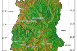
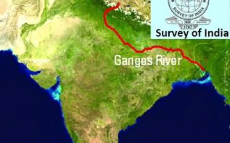
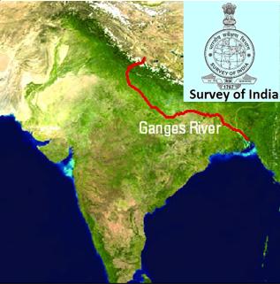
The survey will start right from Gangotri (Ganga’s origin) till it joins Bay of Bengal at various points covering Ganga basin area of 2.5 lakh sq km, he said.
“The time frame proposed was to complete the survey work in 2 years and now we are aiming to complete in one-and-half years. The survey work involves many components like photography from air, ‘Lidar’ imagery and determining the river depth survey which will be outsourced,” Rao explained.
“Survey of India is presently running projects worth Rs 250 crore. There is scope for PPP model as now we are making all the maps in digital form. We are willing to outsource lot of work to IT companies in that direction,” he added.
Earlier, addressing the event, Minister of State for Science and Technology Y S Chowdary emphasised on the need for mapping organisations and the Survey of India to strengthen themselves in producing digital and good maps.
-PTI