
Tag "Earth Observation"

ESA Issues Call For New Earth Explorer Proposals
ESA is announcing an opportunity for scientists involved in Earth observation to submit proposals for the next potential Earth Explorer satellite mission. Traditionally, Earth Explorers use new measurement techniques to
ESA Plans to Launch New Satellite to Measure Plant Health
ESA plans to track the health of the world’s vegetation by detecting and measuring the faint glow that plants give off as they convert sunlight and the atmosphere’s carbon dioxide

EU-Funded Project Enhanced Space Cooperation Between EU and Ukraine
An EU-funded Twinning Project in space cooperation with Ukraine has succeeded in harmonizing Ukrainian legislation to EU standards and supporting Ukraine’s involvement in EU Space Programmes, particularly in Satellite Navigation
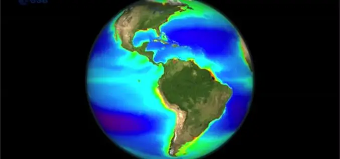
Learn the Basic about Monitoring Climate from Space
Seeing the Earth from space allows us to gain this global perspective. By using Earth observation techniques, we can now monitor global environmental change on a scale that has never

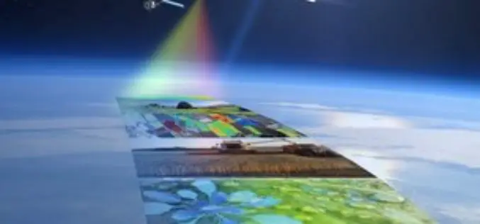
Europe’s Sentinel-2A Satellite Delivers its First Images of Earth
29 June 2015 – Just four days after being lofted into orbit, Europe’s Sentinel-2A satellite delivered its first images of Earth, offering a glimpse of the ‘colour vision’ that it

Belarus and India to Cooperate in Development of Earth Observation Technology
According to recent news by BeITA, Belarus and India are going to start a joint program for the development of earth observation technology. The news service reported that in 2015,

India and Vietnam to Cooperate in Earth Observation Technology
In a recent visit by the delegation of the Vietnamese ministry to India, a joint decision between India’s Ministry of External Affairs, Department of Space, and Space Research Organisation and

Satellites – A Reliable Source for Earth Observation
ISRSE – 750 experts meet in Berlin to discuss trends and challenges in remote sensing How is the ozone layer changing? What is the distribution of trace gases in Earth’s

Back to Back – China Launches Yaogan-25 Earth Observation Satellite
According to Xinhua, China has successfully launched the Yaogan-25 remote sensing satellite into a scheduled orbit at 3:33 a.m. on Dec. 11,2014) from the Jiuquan satellite launch center. The remote sensing satellite will

PhD in Mobile Imaging Sensors Using Airborne Imagery at ITC
The University of Twente, we stand for life sciences and technology. High tech and human touch. Education and research that matter. New technology which drives change, innovation and progress in
