
Tag "GeoNews"
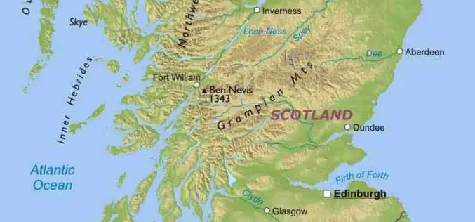
UK Geospatial Commission is Working to Establish Scottish Geospatial Network Integrator
The recent news published on the UK Government website says that the UK Geospatial Commission is working with Scottish Enterprise and the Scottish Government to establish a Geospatial Network Integrator

India-US to Sign Basic Exchange and Cooperation Agreement for Geospatial Cooperation
In the third round of India-US two-plus dialogue both the countries agreed to sign the Basic Exchange and Cooperation Agreement for geospatial cooperation. The third round of ministerial dialogue is

Pix4D Accelerates Growth with A New Office in Madrid
A centre of innovation in the heart of Spain Lausanne, Switzerland: On November 1st 2018, Pix4D opens a new R&D office in Madrid. It is the company’s fifth office after
UrtheCast and Land O’Lakes, Inc. Announce Term Sheet for Purchase of Geosys
Acquisition will create a unique, fully integrated imagery data and geoanalytics solution in the agribusiness industry. VANCOUVER, August 14, 2018 — UrtheCast Corp. (TSX: UR) (“UrtheCast”) and Land O’Lakes, Inc.
Geospatial Intelligence Startup Ursa Announces $5.7 Million in New Funding
Plans to expand global monitoring capabilities for high impact business applications ITHACA, NY – July 19, 2018 – Ursa Space Systems, a provider of geospatial intelligence solutions, recently announced $5.7 million in

Cyient Selected to Develop GIS and MIS for the Varanasi City
Cyient has been selected as a consultant by Varanasi Nagar Nigam (VNN) to develop geographical information system (GIS) and Management Information System (MIS) for the city. A part of the

NASA Debuts Online Toolkit to Promote Commercial Use of Satellite Data
WASHINGTON, July 18, 2018 /PRNewswire-USNewswire/ — While NASA’s policy of free and open remote-sensing data has long benefited the scientific community, other government agencies and nonprofit organizations, it has significant untapped

Eli Tamanaha Joins PrecisionHawk as Vice President of Strategic Initiatives
Seasoned Entrepreneur and Digital Technologist Will Accelerate Growth of PrecisionHawk’s Drone Pilot Network, Droners.io. PrecisionHawk Inc., – a leading provider of enterprise drone technology– today announced that Eli Tamanaha, co-founder
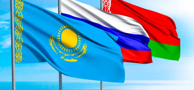
Belarus, Russia, Kazakhstan to Make Space Satellites Together
MOSCOW, 25 May (BelTA) – Belarus, Russia, and Kazakhstan have come to terms on manufacturing cooperation for making satellites for the remote sensing of Earth. The decision was made at
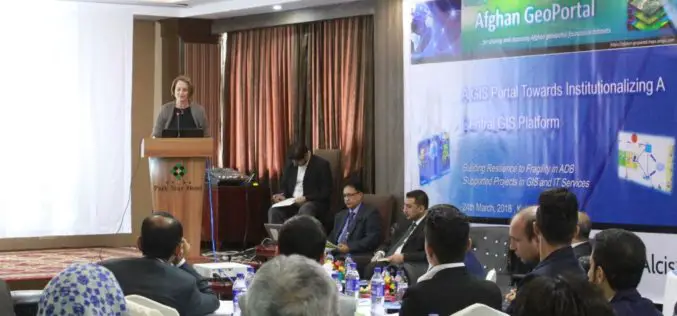
Asian Development Bank and the Govt of Afghanistan Launched “Afghan GeoPortal” to Improve Data Access, Sharing
KABUL, AFGHANISTAN (26 March 2018) — The Asian Development Bank (ADB) and the Government of Afghanistan launched the “Afghan GeoPortal” to help increase the Government of Afghanistan’s access to accurate
