
Tag "Geospatial Technologies"

Geospatial Technologies Will Play an Increasing Role in Rural Development
Rural development is a complex mix of fulfilling rural aspirations and providing opportunities and avenues to sustain their growth. Rural development is largely dependent on the demography &
AGI & NRSC Sign MoU for Promoting National Development Through the Adoption of Geospatial Technologies
Hyderabad, India, December 21, 2017: Association of Geospatial Industries (AGI), a not-for-profit industry association representing the geospatial industry of India signed a Memorandum of Understanding (MoU) with the National Remote
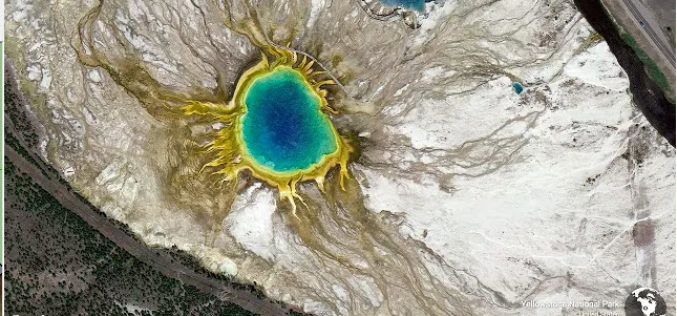
Development Is Required but Environment Preservation Is A Concern
To develop is to move forward. Conserving whatever is left of the Environment is equally important. Development is local/regional. Impact of environmental degradation is global. Development adversely impacts
FICCI Report Highlights Importance of Geospatial Technologies in India
A report released by the Federation of Indian Chambers of Commerce and Industry (FICCI) suggested that the need-based pull for usage of geospatial tools and data has begun. From the
Journal of Geography Article Earns National Council for Geographic Education Accolade
Esri Education Manager Tom Baker Co-Authors Best Article for Geography Program Development Redlands, California—A joint effort from Esri Education manager Tom Baker and a research group of seven university faculty

UNITAR: Geospatial Technologies for Flood and Drought Management in East Africa
In the past decade, countries in East Africa have experienced several flood and drought related disasters. These events have led to severe economic and livelihood loss, which in turn greatly
UNESCO and UNITAR-UNOSAT Signed an Agreement to Protect Heritage Using Geospatial Technologies
UNESCO and UNITAR (the UN Institute for Training and Research) have signed an agreement to protect cultural and natural heritage sites with the latest geospatial technologies. It was signed at
Orbit GT and Genesys, India, sign Reseller Agreement
Orbit GT is proud to announce that Genesys, India has been selected as Reseller of Orbit GT Mobile Mapping software products. “We are pleased to have signed a Reseller Agreement

Geodesign: Change Your World – by Pennsylvania State University
What happens when creativity and science come together? The power to design our world is unleashed, providing tools to inform choices about how we live! Geodesign is the glue—it’s a
1Spatial Australian Local Government GIS Survey Finds Councils Would Benefit from Smart Geospatial Technologies
Many councils performing geospatial tasks manually because of poor data quality and lack of integration with other data SYDNEY, Australia – 27 October 2014 – 1Spatial Group, global
