
Tag "geospatial"
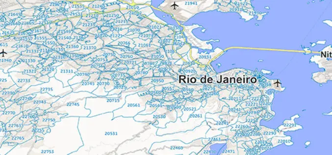
GfK Publishes New Map Edition for Brazil and Mexico
Brazil and Mexico: current geodata for business and risk analyzes GfK publishes new map edition for Brazil and Mexico. To administrative The digital maps and postal areas form the basis
IBM and NRSC Signed MoU for Monitoring Mining Activity
According to recent news, Indian Bureau of Mines (IBM) and National Remote Sensing Centre (NRSC) has signed Memorandum of Understanding (MoU) for monitoring mining activity through satellite technology. The MoU was
Boundless Releases OpenGeo Suite 4.8
Newest Version Includes Support for Mapbox Vector Tiles, NetCDF for Atmospheric Data, and Improved Rendering Support Boundless, the leader in commercially supported, open source, geospatial software, has released OpenGeo Suite

OGC Seeks Public Comment on OGC Emergency and Disaster Management Information Framework Discussion Paper
The membership of the Open Geospatial Consortium (OGC®) seeks public comment on the OGC Emergency and Disaster Management Information Framework Discussion Paper. This paper proposes the establishment of information management

Ordnance Survey to Map Oman’s World Class Geospatial Path
Ordnance Survey (OS) has signed a deal with the Sultanate of Oman Ministry of Defence to help the National Survey Authority (NSA) advance its position as Oman’s national mapping authority. This
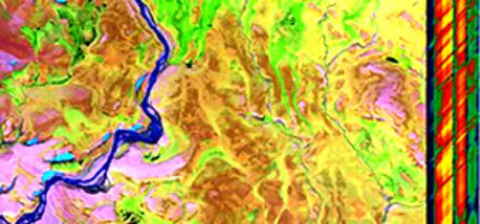
Global Hyperspectral Remote Sensing Market 2015 Industry Trends, Analysis and Forecast to 2019
Global Hyperspectral Remote Sensing Industry 2015 and analysis by 2019 analyzed the world’s main region market size, share,trends,conditions, including the product price, profit, capacity, production, capacity utilization, supply, demand and
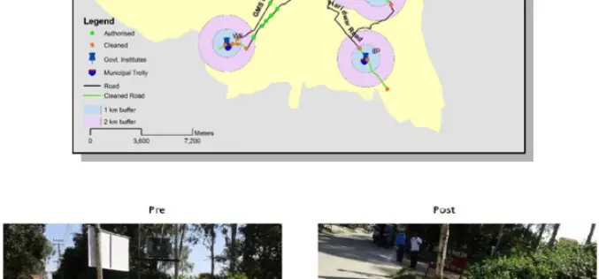
ISRO Utilizes Geospatial Technology for Swachh Bharat Abhiyaan
A novel initiative to contribute in the Swachh Bharat Abhiyaan using the Geospatial Technology (GST) was taken up jointly by the central Government institutions in Dehradun. This initiative was supported
World Bank Has Chosen UAV for Innovative Local Mapping
The World Bank is implementing a $12 million Real Estate and Cadastre Project to assist the government in producing a national cadastre system and geospatial data infrastructure. The team has

Hexagon Geospatial Launches IGNITE – M.App of the Future Challenge
Competition to Award $260,000 for Hexagon Smart M.App® Innovations NORCROSS, Ga., and LOS ANGELES, January 5, 2016 — Hexagon Geospatial today announced IGNITE — a first of its kind competition

Harris Corporation Collaborates with Boundless for Open-Source Geospatial
MELBOURNE, Florida, January 7, 2016 — Harris Corporation (NYSE:HRS) has expanded a collaboration with Boundless to further extend its capabilities in open-source geospatial technology. This partnership makes it easier and
