
Tag "GIS software"
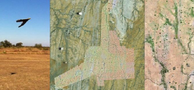
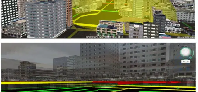
A Case Study: Using Drones in Place of LiDAR
Energizer Resources Inc., has started a major flagship project, a large graphite mining project at coast of East Africa, in Madagascar. it is named the Molo Graphite Project, or simply
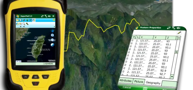
Perfection and Profession. Meet the Brand New SuperPad 3.3!
It is really our pleasure to share with you that the latest version of the SuperPad released for global users. Supergeo R&D team have been focusing on usability and reliability
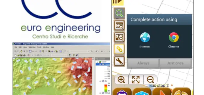
Euro Engineering, Italy Raises Research Value by Using SuperGIS
Supergeo, the leading GIS software and solution provider, announces that Centro Studi e Ricerche Euro Engineering – Soc. Coop. a r.l. (Euro Engineering) raises their research quality by using SuperGIS
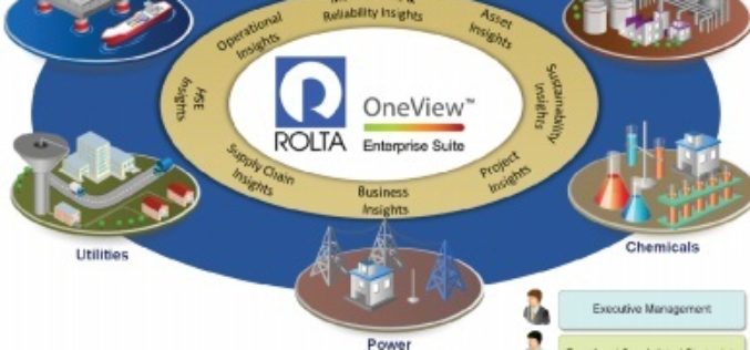
Rolta Unveils Rolta OneView 6.0
Cloud-ready rapidly deployable Big Data Analytics Solution April 30, 2015 – Mumbai – Rolta today announced a major release of Rolta OneView 6.0 with greatly enhanced features and functionality to provide
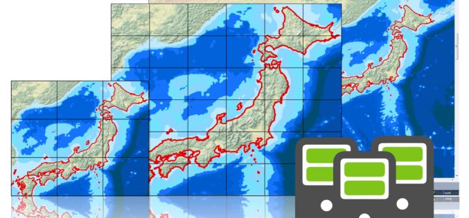
Brand New SuperGIS Desktop 3.3, Now Released for Worldwide Users!
SuperGIS Desktop 3.3, the powerful GIS software developed by Supergeo, is officially released! The latest version enhances map drawing, geodatabase, cache generator and data processing functions. By using SuperGIS Desktop
Evolve! New Techs for Developer GIS, Meet the Latest SuperGIS Engine 3.3
Supergeo Technologies, the leading global provider of complete GIS software and solutions, officially released SuperGIS Engine 3.3 for global GIS developers to customize GIS applications, meeting diverse demands in various
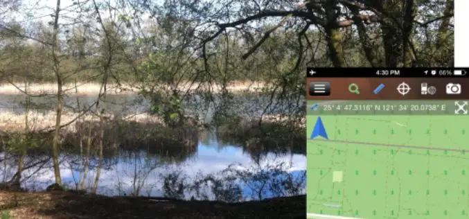
Brandenburg Forest Office, Germany, Select SuperSurv for Forest Conservation
Supergeo Technologies, the leading GIS software and solution provider, announces that Brandenburg Forest Office (Landesbetrieb Forest Brandenburg), Germany has adopted the smart mobile GIS app—SuperSurv to investigate the forest conservation
Embrace Efficiency and Flexibility with Latest SuperGIS Server 3.2
SuperGIS Server is designed to help users share GIS data in many ways, and a better version of SuperGIS Server3.2 just released this week. The latest update improves the management
Improve Underground Utilities Management and Public Safety by 3D GIS
Developed by Supergeo Technologies, SuperGIS 3D Earth Server is going to support underground utilities management. The breakthrough tech enables administrators to comprehend the distribution of underground utilities that cannot be
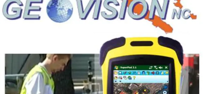
GEOVISION Utilizes SuperGIS for Maritime and Land GIS Planning
Supergeo Technologies Inc., the leading GIS software and solution provider, announces that GEOVISION, Nouvelle-Calédonie, selects cross-platform SuperGIS series products, SuperGIS Desktop, SuperSurv and SuperVeyor, to elevate its maritime and land
