
Tag "GIS software"
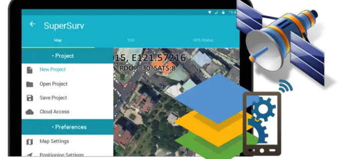
Behold! SuperSurv 10 Come for Unleashing the Power of Latest Technology in Mobile GIS
Can’t find the best fit mobile GIS solution for your field work? Wondering with all the hardcore and complicated operations in most survey Apps? Get ready to experience the brand
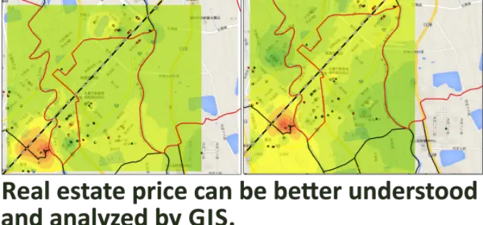
Real Estate Price Distribution Analysis by GIS Technology
Influenced by traditional Chinese thoughts, having own real estate is almost everyone’s life target in Taiwanese community. However, the price has been speculated to unreasonable high level, some research teams
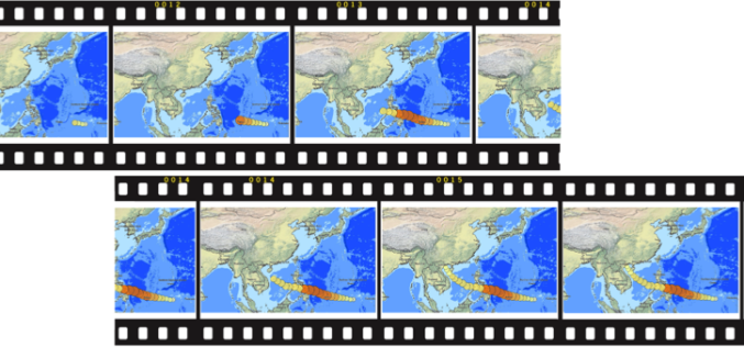
Time to Next SuperGIS Series
Have you ever tried to transform your traditional static map into a living, dynamic map with time dimension? This October, Supergeo is going to formally launch SuperGIS Desktop 10. There
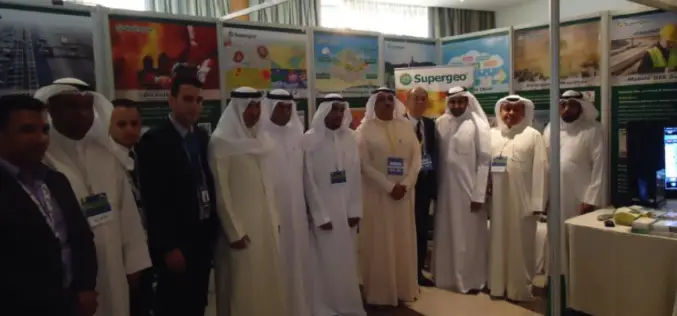
Kuwait Institute for Scientific Research Selects SuperGIS to Enhance Spatial Data Quality
Supergeo long-term partner, KISR, Kuwait Institute for Scientific Research, has adopted the latest SuperGIS Desktop 3.3 and SuperPad 3.3 to not only raise GIS work effectiveness, but also strengthen the
Hexagon Geospatial Launches Cloud-Based Producer Online Suite
NORCROSS, Ga., USA, June 1, 2015 – Hexagon Geospatial is pleased to announce the launch of Producer Online, which is a new cloud-based subscription service that provides on-demand access to
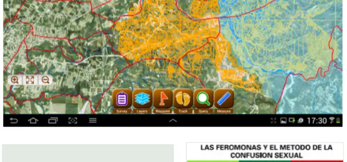
CBC Iberia, Spain Adopts SuperSurv for Android to Elevate Data Collection Efficiency
Supergeo Technologies, the leading provider of complete GIS software and solutions,announces that CBC Iberia S.A., Spain adopts SuperSurv for Android in enhancing outdoor data collection for biotechnologies and agriculture. CBC
Better Business Decisions with Esri’s Up-to-Date Data and Reports
Redlands, California—Having up-to-date information is crucial for accurate decision making in business. Esri’s ArcGIS platform provides access to updated demographics, Tapestry Segmentation, Retail MarketPlace, consumer spending, marketing potential, and traffic
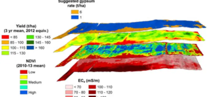
Crop and Soil Mapping Boosts Potential for Increased Yields
A research project started at 2008 by Sugar Research Australia (SRA) with additional support from QDAFF, the collaborative project brings together research expertise from CSIRO, the University of Southern Queensland’s

OGC Announces Water Data Summit
The Open Geospatial Consortium (OGC®) announces a Water Data Summit to be held at the UCAR/NCAR Center Green in Boulder, Colorado on June 3, 2015. This event is part of
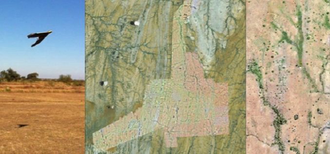
A Case Study: Using Drones in Place of LiDAR
Energizer Resources Inc., has started a major flagship project, a large graphite mining project at coast of East Africa, in Madagascar. it is named the Molo Graphite Project, or simply

