
Tag "InSAR"

NASA ARSET Training: Introduction to Synthetic Aperture Radar
NASA ARSET Training: Introduction to Synthetic Aperture Radar Dates: Wednesday, June 28, 2017 to Thursday, July 6, 2017 Times: 12:00-1:00 p.m. and 9:00-10:00 p.m. EDT (UTC-4) Introduction: A limitation of optical satellite remote
New Open-source Software Enhances Satellite Geodesy Capability
Scientists from Geoscience Australia have released new software that will improve the ability to process big remotely-sensed satellite datasets. The new “PyRate” software being presented this week at the European
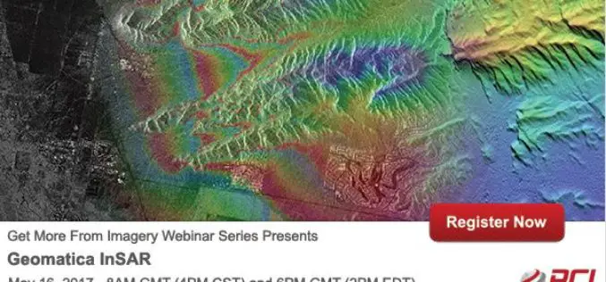
PCI Geomatics Webinar Series: Geomatica InSAR
PCI Geomatics Webinar: Geomatica Object Analyst May 16, 2017 | 8AM GMT / 4PM CST & 6PM GMT / 2PM EDT In this webinar, we’ll take a deep dive into the new InSAR
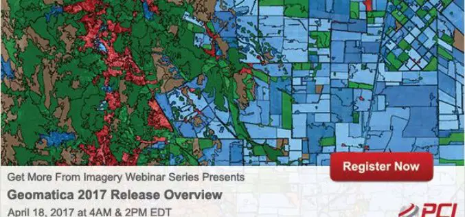
Get More From Imagery Webinar Series: Geomatica 2017 Release Overview
Geomatica 2017 Release Overview April 18, 2017 | 4AM & 2PM (EDT) Geomatica 2017 represents one of the biggest software releases from PCI Geomatics in several years. Geomatica 2017 provides much
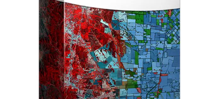
PCI Geomatics Releases Geomatica 2017, Featuring Geomatica Object Analyst and Geomatica InSAR Modules
MARKHAM, Ontario, Canada — April 11, 2017: PCI Geomatics, a world leading developer of remote sensing and photogrammetric software and systems, announced today the release of Geomatica 2017 – the

PCI Geomatics Welcomes Advanced Groundwater Technologies to its Reseller Partner Network
MARKHAM, Ontario, Canada, February 15, 2017 — PCI Geomatics, a world-leading developer of remote sensing and photogrammetric software and systems, announced today that Advanced Groundwater Technologies (AGWT) has joined its
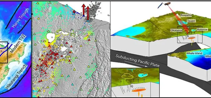
GPS and Satellite Radar Interferometry Indicate the Birth of a New Magma Body Beneath New Zealand
A recent study by Ian Hamling using Global positioning satellite and satellite radar interferometry measurements has indicated the birth of a magma chamber along the Taupo Volcanic Zone. Magma is a
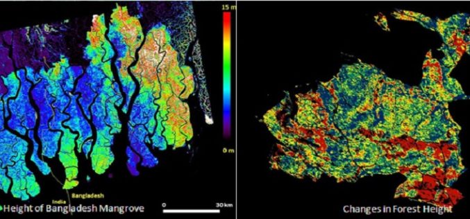
Mapping Forest Structure From Space
Over the last 10 years a new method using satellite radar data has been maturing to provide 3D views of Earth’s natural resources and urban environments. Scientists from around the

InSAR/Seismological Investigation Studentship Programme
In 2012, the Natural Environment Research Council announced that it wished to concentrate research student training in larger cohorts, and invited bids for Doctoral Training Partnerships to provide this training.
