
Tag "LiDAR"

Bluesky LiDAR Data Used by RPS to Assess Flood Risk for Anglian Water
November 1, 2017 – A sewer flood risk map of the Anglian Water region is being created by the Wastewater Consultancy team of RPS. The highly accurate 3D digital map
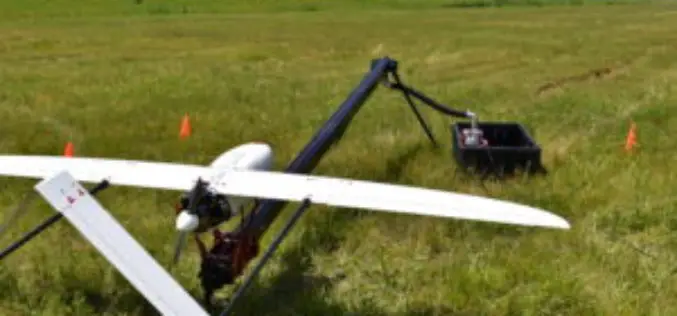
Calspan Invests in the Future of Drone Technology
Adding another aircraft to an ever-growing fleet allows Calspan to better address the needs of an evolving customer base. Buffalo, New York – October 31, 2017 – Calspan is pleased to

SimActive Automates Direct Georeferencing
October 31, 2017 – SimActive is pleased to announce an automated solution for direct georeferencing from real-time kinematic (RTK) positioning. Within the new workflow feature, users can easily get high accuracy
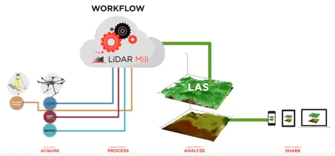
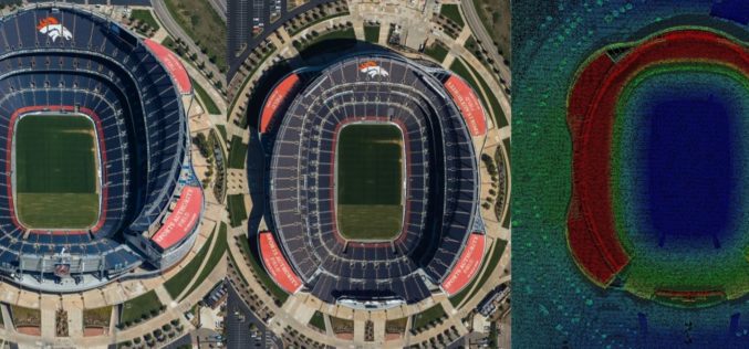
Phoenix LiDAR Unveils LiDAR Mill, the First Cloud-Based Post-Processing Platform
Cloud-based LiDAR platform automates trajectory processing, making the technology more affordable and accessible LOS ANGELES, CA (PRWEB) OCTOBER 26, 2017 – Addressing a major opportunity in the LiDAR industry, Phoenix LiDAR Systems

Velodyne LiDAR Partners with YellowScan for Integrated LiDAR for UAVs
YellowScan to leverage Velodyne’s lightweight VLP-16 Puck LiDAR sensors for its advanced aerial Surveyor LiDAR system October 26, 2017 – SAN JOSE, Calif.–(BUSINESS WIRE)–Velodyne LiDAR Inc., the world leader in 3D

4DMapper Incorporates Global Mapper SDK Enabling Cloud Based Geospatial Analytics
Hallowell, Maine – October 23, 2017 – Blue Marble Geographics (bluemarblegeo.com) is pleased to announce that 4DMapper (4dmapper.com), a geospatial technology company based in Australia, has chosen the Global Mapper Software
Global Mapper and LiDAR Module SDK v19 Released with Expanded Online Data Support and Improved LiDAR Ground Point Detection and Reclassification
Hallowell, Maine – October 17, 2017 – Blue Marble Geographics (www.bluemarblegeo.com) is pleased to announce the immediate availability of version 19 of the Global Mapper Software Development Kit (SDK) along with
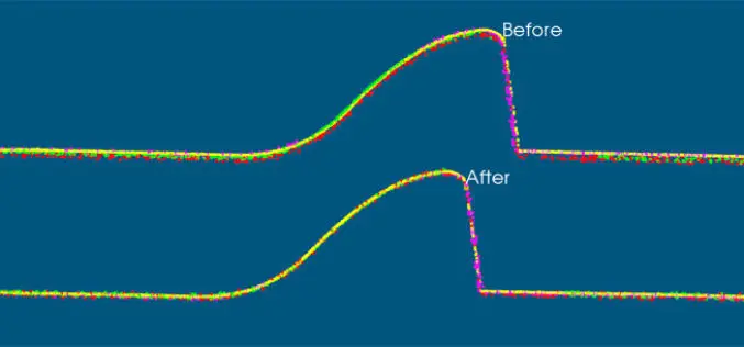
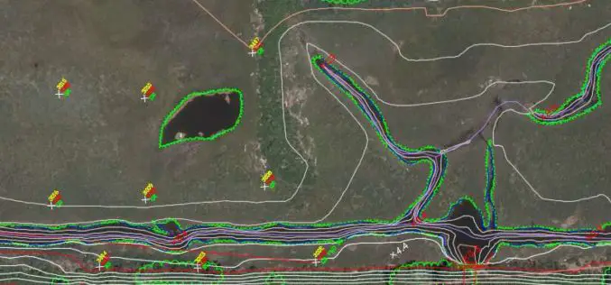
VRMesh V9.5 Available with New Advanced Features for LiDAR Strip Adjustment
Oct. 12th, 2017 – VirtualGrid is pleased to announce the availability of VRMesh v9.5, the latest version of its powerful 3D point cloud and mesh processing software. This new release
Airborne LiDAR Production Now Fully Integrated With Leica HxMap Workflow
Leica Geosystems, industry leader for reality capture and measurement technology, announced today the release of LiDAR data processing capability in the Leica RealCity solution package. Leica Geosystems partnered with international asset
Col-East Taps Extensive Image Archive to Create Multi-Function Maps
NORTH ADAMS, Massachusetts, 4 October 2017 – Col-East International Ltd., a provider of aerial photogrammetric services in the Northeast U.S. since 1952, tapped into its extensive archive of aerial imagery
