
Tag "LiDAR"
GeoSLAM to Demo Time & Cost Saving 3D Mobile Laser Scanners for Construction Applications at 2018 AGC Convention
NOTTINGHAMSHIRE, U.K., 20 February 2018 – GeoSLAM will demonstrate how its ZEB-REVO RT handheld laser scanner can be used to slash the time and cost required for complex indoor 3D mapping on
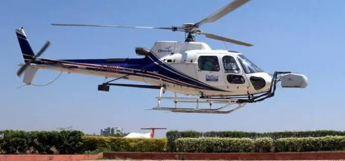
Bangalore Started Rooftop Solar Energy Potential Mapping Using Aerial LiDAR
According to recent news reported by The Hindu, Over the fortnight, a helicopter armed with LiDAR system will fly across the city, mapping its potential to generate rooftop solar energy. The

Global Mapper v19.1 Now Available
Global Mapper v19.1 Now Available with 3D Profile Line Exporting, Multivariate Querying, and Expanded Drag-and-Drop Window Docking Blue Marble Geographics is pleased to announce the release of Global Mapper version
AirGon LLC Appointed North American Distributor for YellowScan Drone LiDAR Systems
Montpellier, February 13, 2018 – AirGon LLC, a wholly owned subsidiary of GeoCue Group Inc., has been appointed the North American Distributor for YellowScan based in Montpellier, France. Under the agreement, AirGon
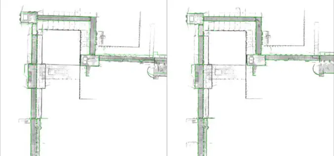
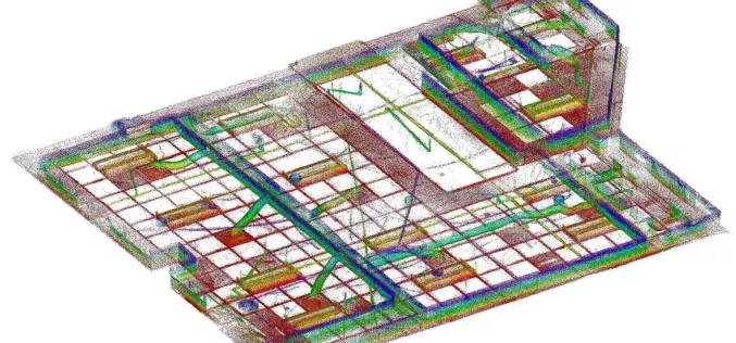
NavVis Sets New Standard in SLAM Precision
New algorithm reduces drift error in indoor environments MUNICH, Germany, 7 February 2018 – NavVis, a global leader in mobile indoor mapping, visualization, and navigation, announces new mapping software that significantly improves the
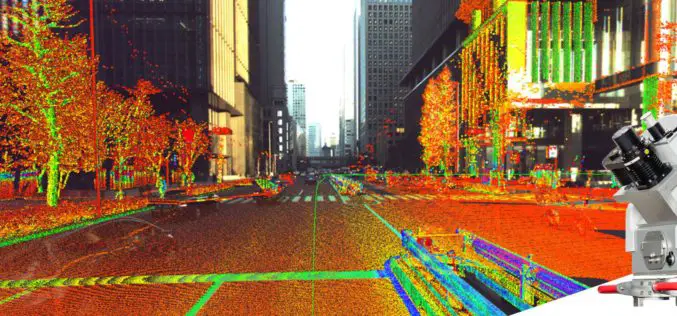
Leica Geosystems Multipurpose Mobile Mapping Platform Increases Smart City Applications
Leica Pegasus:Two Ultimate enables professional 360-degree seamless imagery Heerbrugg, Switzerland, February 06, 2018 – Leica Geosystems, industry leader of measurement technology, released today the new Leica Pegasus:Two Ultimate, an upgrade to
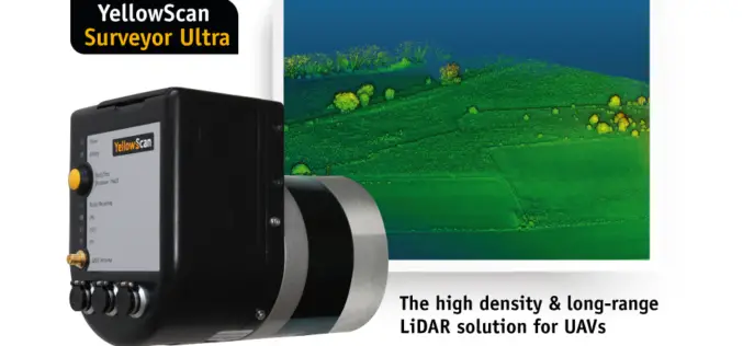
YellowScan Unveils Its New UAV-LiDAR System
Montpellier, 5 February 2018 – The Surveyor Ultra is the new system from YellowScan, integrating the Velodyne VLP-32C scanner & the Applanix APX-15 IMU. Thanks to its high-density (600 000 shots per second), the
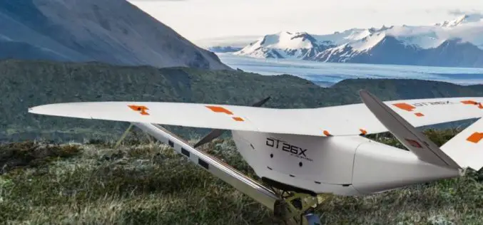
Delair Introduces Industry’s Most Advanced Fixed-Wing UAV for LiDAR-Based Aerial Surveying and 3D Mapping
New Delair DT26X LiDAR drone combines LiDAR sensing with RGB camera data to enable highly accurate and high-resolution 3D representation and measurement over large areas with minimal flights and in
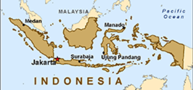
Indonesian Peat Prize Announces 1 Million US Dollar Competition Winner
Indonesian Peat Prize Announces 1 Million US Dollar Competition Winner: International Peat Mapping Team: Remote Sensing Solutions GmbH (RSS), Agency for Assessment and Application of Technology (BPPT), and Sriwijaya University

Teledyne Optech announces Michael Perdue as new Director of Customer Service
January 31, 2018 — Teledyne Optech is pleased to announce that Mr. Michael Perdue is joining the company as Director of Customer Service starting February 1. Mr. Perdue’s arrival is
