
Tag "mapping"
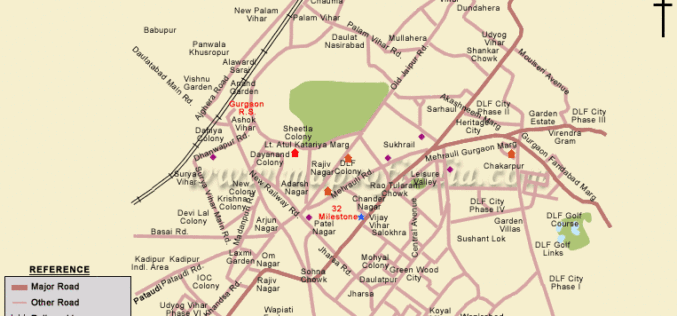
Government Plans to Develop Gurgaon into Smart City
According to recent news by ToI, senior officials of various government authorities (district administration, MCG, HUDA, power discom DHBVN and functionaries of PGCIL) had a meeting to prepare the framework

IRE, Esri Together to Offer Fellowships For Mapping Training
IRE and Esri have partnered to offer fellowships to attend mapping training at the 2015 Esri Conference from July 18-22 in San Diego or the IRE Mapping Boot Camp from August 7-9 at the University of Missouri-Columbia,

81 Villages in Noida To Be Mapped Using Drone
In recent news by ToI, Noida Authority is going to map individual houses of 81 villages in its administrative boundary. Bishanpura village is the first of 81 villages to be
Mapmakers Invited to Submit Best of the Best – Esri’s Storytelling with Maps Contest
Esri Launches Worldwide Storytelling with Maps Contest Redlands, California—Mappers everywhere who harness the power of geographic information system (GIS) technology to tell their stories can now enter Esri’s Storytelling with

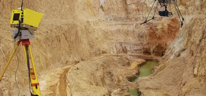
3D Laser Mapping to Revolutionise Building Surveys
3D Laser Mapping has launched a powerful solution that will revolutionise the production of highly accurate building floor plans. Combining the easy to use ZEB1 hand held laser mapping system
Do You Like to Map? Take the Mapping Challenge!
The USGS crowd-sourcing project volunteers have updated all law enforcement points in Tennessee Volunteer citizen-mappers continue to make significant contributions to the USGS ability to provide accurate mapping information to
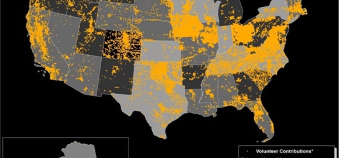
Minnesota Municipality Using GIS for Public Utilities Outage Management
In recent news by American City & County, Minnesota municipality is using GIS for efficient handling of public utility outages. A Minnesota based company “Rochester Public Utilities”, provides services to more than 47,000 power
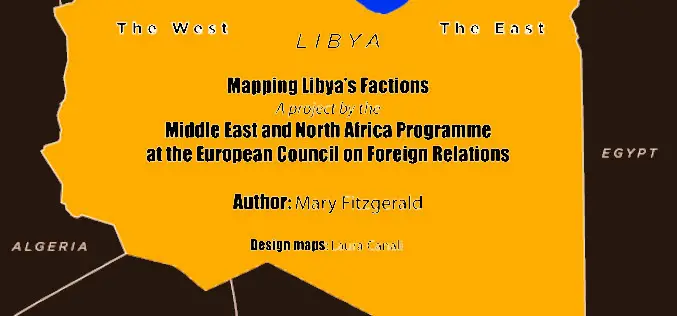
European Council on Foreign Relations has Conducted Mapping of Libya’s Regional and Armed Fractions
Protests in Libya began on 15 February, 2011 in front of Benghazi’s police headquarters following the arrest of a human rights attorney who represented the “relatives of more than 1,000

Spatial Mapping Reveals Importance of Hauraki Gulf Waters
The most extensive spatial mapping of the Hauraki Gulf waters has identified a new area of importance for nationally endangered bottlenose dolphins, as well as demonstrating how these waters are
Optech Presenting the Latest Mapping Solutions for Geosciences at EGU 2015
April 8, 2015 — Optech is pleased to announce that it will attend the 2015 European Geosciences Union (EGU) General Assembly in Vienna, Austria on April 12-17 to discuss the
