
Tag "remote sensing"
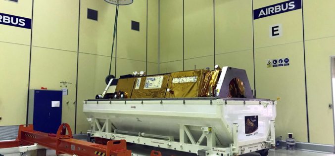
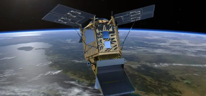
PAZ Satellite Starts its Journey to Space
Madrid, December 19, 2017 – Loading and transport of the Spanish Earth observation satellite, PAZ, is underway. Airbus engineers in Madrid are installing the 1,400 kg satellite into the container that will
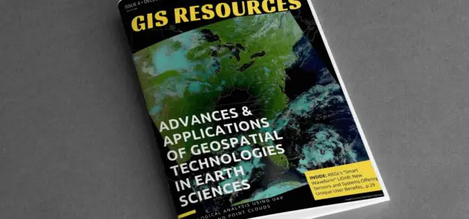
4th Edition of GIS Resources Magazine: Advances & Applications of Geospatial Technologies in Earth Sciences
GIS Resources Magazine (4th Edition): Advances & Applications of Geospatial Technologies in Earth Sciences GIS Resources, a leading global platform for latest and high-quality information source for the geospatial industry, announcing
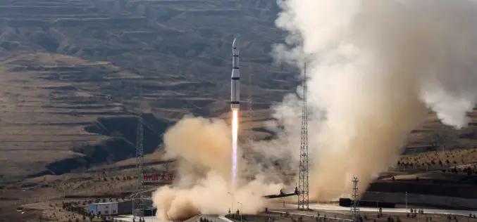
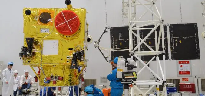
China Launches Three Remote Sensing Satellites – Jilin-1-04, Jilin-1-05 and Jilin-1-06
November 21 (ANI): China has launched three remote sensing satellites to promote commercial use for the remote sensing industry. The satellites — Jilin-1-04, Jilin-1-05, and Jilin-1-06 — were carried by a
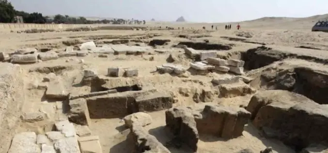
Remote Sensing Technology Employed in Iran to Identify Archaeological Sites
Iran – According to recent news reported by the Financial Tribune, for the first time in the annal of Iranian technological history, remote sensing techniques have been employed to study and identify
Sentinel‑5P – First Copernicus Mission Dedicated to Monitoring Our Atmosphere
October 13, 2017 – The first Copernicus mission dedicated to monitoring our atmosphere, Sentinel‑5P, has been launched from the Plesetsk Cosmodrome in northern Russia. Sentinel-5P belongs to the Copernicus satellite fleet,
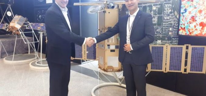
China Launched the 2nd Remote Sensing Satellite for Venezuela
According to recent news reported by Sputnik, China launched the second Venezuela Remote Sensing Satellite (VRSS-2) using a Long March-2D (Chang Zheng-2D) launch vehicle on October 09, 2017. Also known by

Remote Sensing Technology to Protect Frankincense Trees
According to recent news by Muscatdaily.com, the Remote Sensing and GIS Research Center (RSGISC) at the Sultan Qaboos University, Muscat, is assessing the use of remote sensing and GIS technology in
Pakistan to Launch First Remote Sensing Satellite in 2018
According to recent news by the Geo.tv, the Pakistan Space and Upper Atmosphere Research Commission (Suparco) has recently announced that Pakistan’s first optical remote sensing satellite PRSS-1 would be launched in 2018. The
SI Imaging Services Announces “Bulk Order Contract” with URSA
The SI Imaging Services has signed a “Bulk Order Contract” with a geospatial data and analytics company URSA Space Systems Inc. The SI Imaging Services a leading provider of VHR
PCI Geomatics Releases Geomatica 2017, Service Pack 1
MARKHAM, Ontario, Canada, September 12, 2017 – PCI Geomatics, a world leading developer of remote sensing and photogrammetric software and systems, announced today the release of Service Pack 1 for
