Remote Sensing Technology Employed in Iran to Identify Archaeological Sites
Iran – According to recent news reported by the Financial Tribune, for the first time in the annal of Iranian technological history, remote sensing techniques have been employed to study and identify archaeological sites and cemeteries in the war zones of Ilam and Kermanshah provinces.
The remote sensing archaeological survey in Kermanshah and Ilam, known as the tropical scheme, is aimed at investigating war zones in the two western provinces, ISNA reported.
Remote Sensing Technology for Archeological Studies.
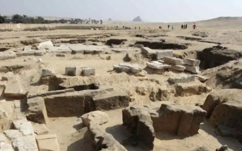
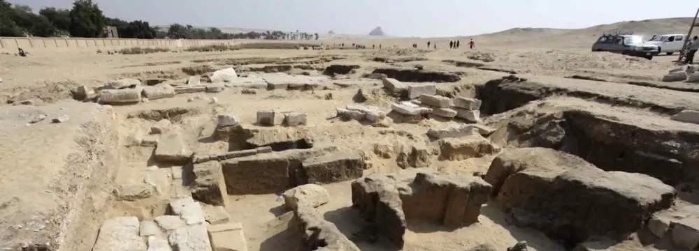
Image Credit: Financial Tribune
Hayyan Jabbarzadeh, chairman of the board overseeing the scheme, said remote sensing technology is effective for overcoming difficulties in surveying warzones, “through which an archaeologist gets to examine, identify and analyze all residential sites and cemeteries of a region without having a physical presence”.
“It is also a great help in compensating the budget deficit and an efficient replacement for the time-consuming traditional methods of on-site observation,” he added.
Jabbarzadeh reiterated the importance of using remote sensing technology in finding meaningful relations between ancient structures and their environment, managing archeological sites on the verge of destruction, modeling locations with high potential of hosting ancient sites, estimating damage in affected sites and identifying threats from either natural disasters or construction projects around them.