
Tag "remote sensing"
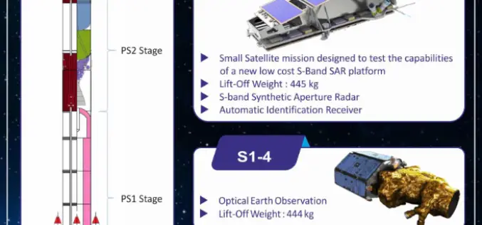
Indian Space Research Organisation (ISRO) Successfully Launches NovaSAR and S1-4 Satellite
Sriharikota, Andhra Pradesh, India – Sep 16, 2018 – The Polar Satellite Launch Vehicle (PSLV-C42) of Indian Space Research Organisation (ISRO) today (16 Sept 2018, Sunday) successfully launched two satellites — NovaSAR
SwRI Investigates New Techniques To Estimate Groundwater Recharge
August 22, 2018 — Southwest Research Institute scientists are investigating using the latest remote-sensing technology to assess groundwater recharge more accurately. This information is critical for water resource managers, especially
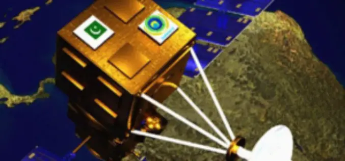
China Launches Two Satellites for Pakistan
Beijing, Jul 9, 2018 (PTI) – China has successfully launched two remote sensing satellites for Pakistan, marking the first international commercial launch for the Long March-2C rocket in about 19 years.

Merrick Releases Version 2018 MARS® Software Suite
May 31, 2018 – Merrick & Company, a global leader in light detection and ranging (LiDAR), digital orthophotography, hyperspectral imaging, and geographic information systems (GIS) data integration, is pleased to
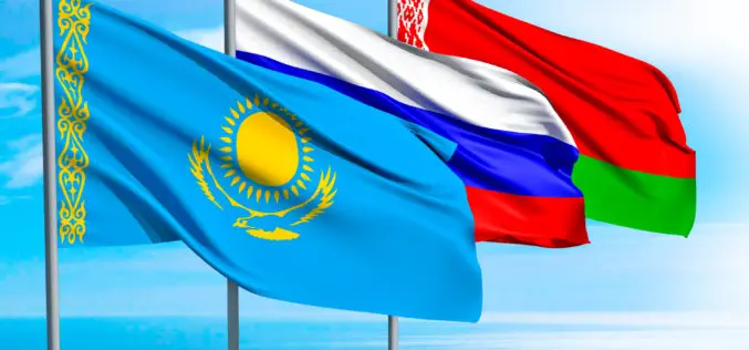
Belarus, Russia, Kazakhstan to Make Space Satellites Together
MOSCOW, 25 May (BelTA) – Belarus, Russia, and Kazakhstan have come to terms on manufacturing cooperation for making satellites for the remote sensing of Earth. The decision was made at
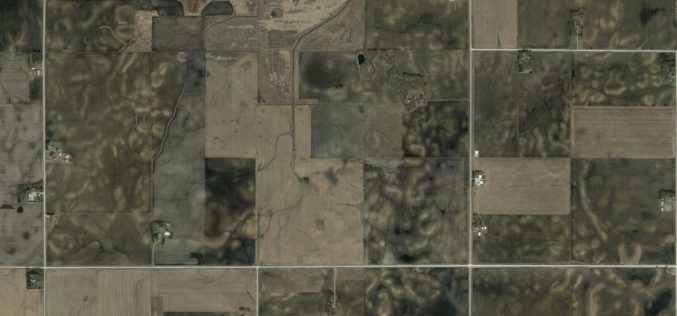
Studying Soil Erosion from Space
Geologist and geochemist Isaac Larsen at the University of Massachusetts Amherst has a grant from NASA to study soils in a whole new way, from space. Isaac Larsen is an

Sketch Design for New Belarusian-Russian Satellite in 2019
MINSK, 11 April (BelTA) – There are plans to finish the sketch design for a new Belarusian-Russian satellite in 2019, BelTA learned from Boris Chernukha, Deputy Director for Science of
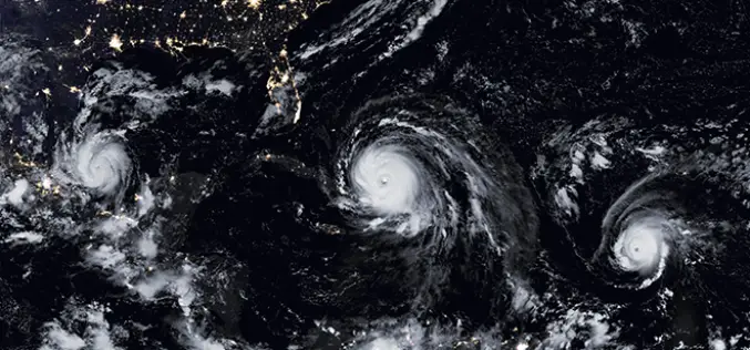
NASA ARSET Training: Monitoring Tropical Storms for Emergency Preparedness
Monitoring Tropical Storms for Emergency Preparedness Thursday, May 3, 2018 to Thursday, May 10, 2018 09:00 – 11:00 and 18:00 – 20:00 EDT (UTC-4) Tropical storms have major impacts, including loss of
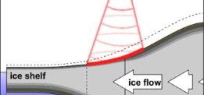
Remote Sensing to Detect Horizontal Motion of Glacier Grounding Lines
In a recent research by the UK Centre for Polar Observation and Modelling (CPOM) at the University of Leeds has produced the first complete map of how the ice sheet’s
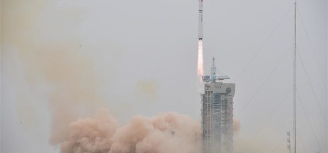
China Launched the Fourth in a Series Land Survey Satellite
According to recent news by Spaceflight Now, China has returned to action on March 17, 2018, with a Long March 2D rocket blasting off from Jiuquan, marking the country’s eighth space launch
