Tag "Satellite imagery"
Remote Sensing
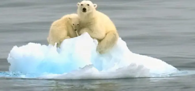
Bears from Space: Scientists Try to Count Polar Bears Using Satellite Imagery
They look like tiny white specks on a mottled grey background. They’re polar bears seen from space — using the newest tool in the kit for scientists to monitor Canada’s
Remote Sensing
Pakistan to use Satellite imagery to remove encroachments
Digitalisation and satellite imaging of Islamabad would help eradicate encroachments in the city and also facilitate future planning by using latest technology and techniques as well as it will minimise


