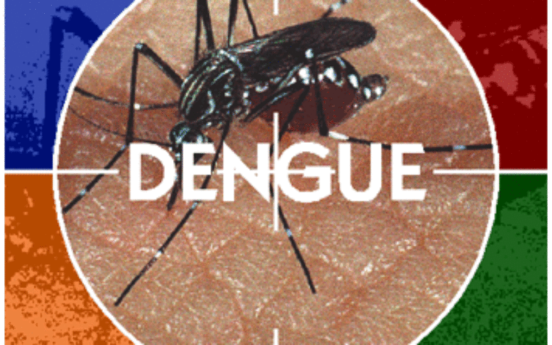
University of the Cordilleras Launches GIS Based Dengue Surveillance System
 BAGUIO CITY – Following the increase of dengue cases in the Summer Capital, the University of the Cordilleras will pilot test several barangay for its Geographic Information System-based dengue and epidemiology system.
The analysis will also find out the geographic, environmental, and human causes for such impact and to be able to forecast new, emerging diseases and establish special treatment centers.
Lubrica, the project leader of the University of the Cordilleras – Geographic Information System (UC-GIS), said South-East Asia, Central and South America and other several regions emerged a serious health problem, causing severe flu-like illness and cause a potential and lethal complication transmitted by bites and for over 200 years, America recognized dengue fever as the most important mosquito-borne viral disease globally.
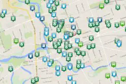
Maps on disease spread and risk maps are good basis of policies and are highly suitable for analyzing epidemiological data, revealing trends, and interrelationships that will be difficult to discover in tabular format.
The GIS allows policy makers to visualize problems existing in health and social service, and the natural environment. The significance of the study is one of the best applications of GIS in disease surveillance and epidemiology and can be seen in the Public Health Agency (PHA) in Canada.
The PHA had a real time surveillance system using mobile and web technology, thus, making response more efficient.The systems started with a strong background in GIS, Lubrica said.
Baguio City can be the first to adopt a GIS-based dengue surveillance and epidemiology in the Philippines.
Cordillera Regional Health Research and Development Consortium (CRHRDC) chairman, Dr Raymundo Rovillos said, GIS was one of the two projects of the Philippine Council for Health Research and Development of the Department of Science and Technology (PCHRD-DOST) in the Cordillera Region.
This GIS-based Analysis of Dengue Cases project in Baguio City is in partnership with the DOH-CAR, the Baguio Health Department (BHD), Baguio General Hospital Medical Center (BGHMC), PCHRD-DOST (the funding source) and the CRHRDC.
Source: PNA – Philippine News Agency