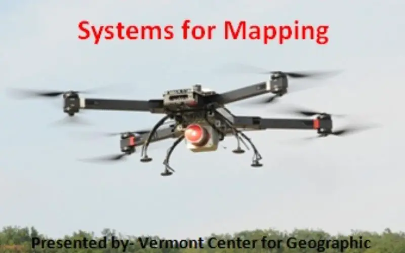
Webinar: Unmanned Aerial Systems for Mapping
January 15, 2015: 10:00 am to 11:00 am
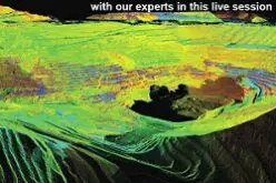
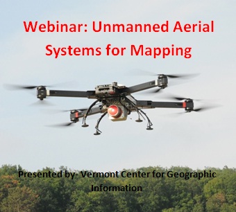 Unmanned Aerial Systems (UAS) or drones have garnered a lot of headlines recently. The term “drone” is often associated with a human-piloted, video-enabled system that is used for recreation, movie production, surveillance, or targeting. In this webinar we will take a look at a different class of drones, those are are developed solely for the purposes of creating accurate 2D and 3D mapping products using photogrammetric workflows. UAS workflow and output data products will be presented along with an assessment of the capabilities and limitations of these “mapping grade” drones.
After registering, you will receive a confirmation email containing information about joining the webinar.
Registration URL: https://attendee.gotowebinar.com/register/7646467117307805954
Webinar ID: 117-014-779