
Tag "unmanned aerial systems"

Cyient And Bluebird Aero Systems Sign Joint Venture to Offer UAV Systems to Indian Defence And Industry
The JV underlines the commitment of both partners to the ‘Make in India’ initiative and will supply advanced micro, mini, and tactical UAV systems Chennai/Hyderabad, India and Kadima, Israel, April
Airbus Creates New Commercial Drone Services Start-up “Airbus Aerial”
– Launches U.S. base and business, headquartered in Atlanta, Georgia – Starts operations with imagery services fusing drones, satellite images, and software to bring deeper insights to commercial customers –

TBC Power Hour – UAS Processing using new TBC/UASMaster Workflows
TBC Power Hour Webinar: UAS Processing using new TBC/UASMaster Workflows Dec 21, 2016 | 8 AM MDT or 4 AM MDT UAS (Unmanned Aerial Systems) are becoming part of daily

PCI Geomatics and PrecisionHawk Enter into Long Term Partnership
MARKHAM, Ontario, Canada—September 20, 2016: PCI Geomatics, a world-leading developer of remote sensing and photogrammetric software and systems, announced today it has entered into a long-term partnership with PrecisionHawk, a
French Defence Major Thales Eyes Indian UAV Market
French defence major Thales is eyeing the multi-billion dollar Indian UAV market as it aims to increase its presence here by also dipping into the small and medium scale defence

Cardno Files U.S. Patent Application for UAS Remote Sensing Process
New patent application filing for Unmanned Aerial Systems UAS remote sensing technology workflow to support abandoned uranium assessment and cleanup. Cardno announced the filing with the U.S. Patent & Trademark Office

Commercial UAV Expo 2016 at Las Vegas
Commercial UAV Expo is North America’s leading trade show and conference for the commercial drone market, focusing on: Surveying & Mapping Civil Infrastructure Process, Power & Utilities Aggregates & Mining Construction Law

UAS Task Force Outlines Recommendations for Registration
The Federal Aviation Administration released the initial Task Force recommendations for the registration of small unmanned aerial systems (UAS). In October, PrecisionHawk was selected by the Department of Transportation to
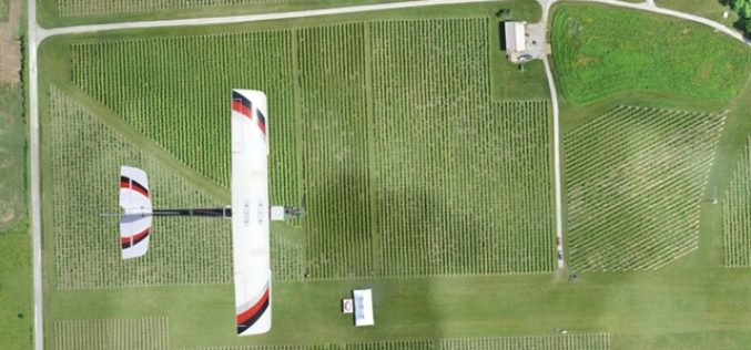
Kansas State University and Precisionhawk Developing UAS App That Predicts Corn Production
Kansas State University has recently signed a research partnership with PrecisionHawk Inc., a Raleigh, North Carolina, to develop unmanned aerial systems or UAS app that predicts corn production. The partnership establishes
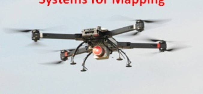
Webinar: Unmanned Aerial Systems for Mapping
Webinar: Unmanned Aerial Systems for Mapping January 15, 2015: 10:00 am to 11:00 am Unmanned Aerial Systems (UAS) or drones have garnered a lot of headlines recently. The term “drone”
