
Archive

Clark Labs Introduces Land Change Modeler for ArcGIS 10.2!
Land Change Modeler for ArcGIS is an innovative land planning and decision support software extension to ArcGIS. Widely used for the prioritization of conservation and planning efforts, Land Change Modeler
Its Free! – CSAR 2014 SAR Workshop
USGIF Commercial SAR Workshop Series AFRICOM/EUCOM The Huntingdon Marriott Hotel, Molesworth, 17-18 February 2014 Pullman Stuttgart Fontana Hotel, Stuttgart, Germany, 20-21 February 2014. USGIF and the Commercial Synthetic Aperture Radar
Esri Regional Internship on 14 March 2014
ESRI WILL CONDUCT A REGIONAL INTERNSHIP ON March 14, 2014 AT Redlands, CA Summer Internships Are you looking for an experience where you can learn and earn at the same time?
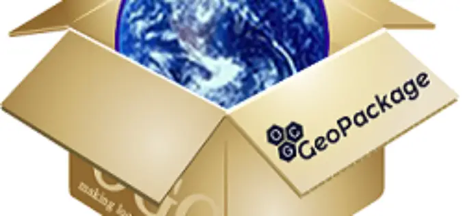
PR: OGC Adopts Important GeoPackage Standard for Mobile
The Open Geospatial Consortium (OGC®) has adopted the OGC GeoPackage 1.0 (GPKG) Encoding Standard. The GeoPackage standard will make it much easier to exchange and share geospatial (or location) information
EOI: Preparation of RFP, Project Management & Evaluation of The project Titled “Geospatial Technology for Rural & UrbanDevelopment”
Request For Expression of Interest (EOI) For Appointment of Consultant towards Preparation of Request for Proposal, Project Management & Evaluation of the Project Titled “Geo-Spatial Technology for Rural & Urban

Bhuvan Updates: Gateway to Indian Earth Observation
On the occasion of NRSC User Interaction Meet – 2014, Bhuvan has been enriched with several features, data products and Services. Bhuvan 2.5D Bhuvan now brings 2.5 D City Models
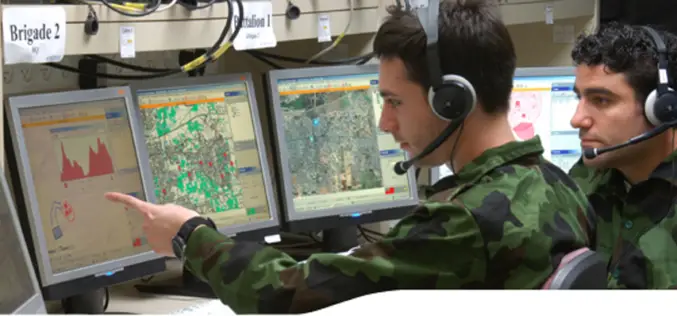
Geospatial Technologies – Transforming Way of War
The 8th Land, Naval & Internal Homeland Security System Exhibition end in Delhi on February 09, 2014. The event was organized by the Ministry of Defence, Government of India and
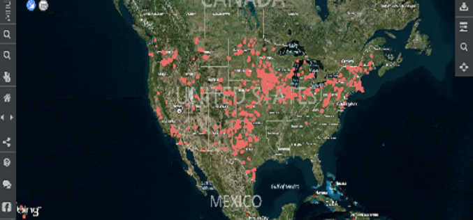
USGS WindFarm Mapping tool
A tutorial by USGS scientist Chris Garrity demonstrating how to use the WindFarm Mapping tool.

TatukGIS Releases 64 Bit Version of Free GIS Viewer
TatukGIS announces release of the 64 bit version of its popular free desktop GIS Viewer. Now the free Viewer, like its more powerful sibling the TatukGIS Editor, is available as
AutoTrace plugin for QGIS
AutoTrace is a plugin for QGIS that allows you to trace existing features. The AutoTrace plugin is based on the trace Digitize plugin by Cédric Möri and others.
