
Archive

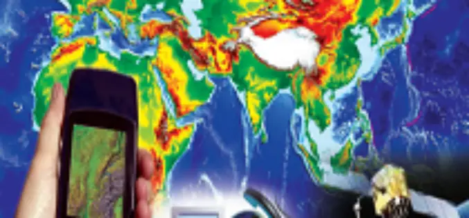
Google Earth 8.0 for Android with 3D Imagery, Accurate Maps
Google has just announced a new update for the Google Earth app for Android. The new version is getting an update over the next week—with an enhanced 3D experience, quicker updates to the map,

2014 Open Data for Development Research Grants – Call for Proposals
The Open Government Partnership Open Data Working Group is interested in receiving research proposals for work exploring the technical and practical implications of Open Data. These grants are administered by
University of Kerala Announces Admission to PG Diploma in Geo-Information Science and Technology
UNIVERSITY OF KERALA Centre for Geo-Information Science and Technology (A centre of excellence supported by the DST and KSCSTE) Announces admission to the PG

Webinar: The Role and Impact of Geospatial Information in the Big Data Arena
GeoConnections is pleased to invite you to a webinar on “The Role and Impact of Geospatial Information in the Big Data Arena” Tuesday, October 28, 2014 – 1:30-3:00 PM (Eastern Daylight

IEEE International Conference on Wireless for Space and Extreme Environments 2014
2014 IEEE International Conference on Wireless for Space and Extreme Environments European Space Agency, ESTEC, Noordwijk, The Netherlands, October 30 – 31, 2014 In cooperation with CSA, ESA, NASA WiSEE 2014

India and Mexico Sign MoU on Space Cooperation
In recent news, India and Mexico signed an MoU on space cooperation under which both sides will work together in remote sensing, satellite communication and areas relating to the peaceful use of outer
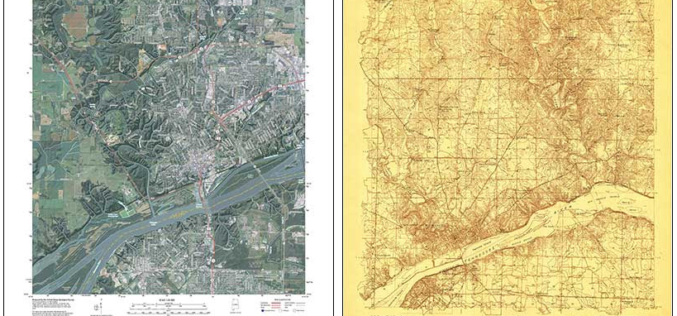
Revised Alabama Maps Feature New Design
Newly designed US Topo maps covering Alabama are now available online for free download US Topo maps now have a crisper, cleaner design – enhancing readability of maps for online
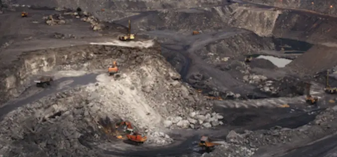
Odisha to conduct DGPS Survey of 148 mines
The Odisha government will conduct DGPS (Differential Global Positioning System) survey in 148 iron ore and manganese mines to check illegal mining operations outside the leasehold areas. Director of mines Deepak Mohanty

NCTech Set To Transform Laser Scanning Market with HDR Point Cloud Colourisation Software
Scottish company launches world’s fastest automatic high resolution HDR point cloud colourisation Breakthrough technology will mean end for stitching, processing images and manually clicking placement points NCTech has launched ColourCloudTM,
DGCA Issues Notice on Use of Unmanned Aerial Vehicle (UAV) for Civil Applications
The Office of the Director General of Civil Aviation (DGCA), Government of India has issued a public notice regarding the use of Unmanned Aerial Vehicle (UAV)/ Unmanned Aircraft Systems (UAS)
