
Archive

Meet 1Spatial At Europe’s Largest Smart Energy Event
Come and meet 1Spatial at European Utility Week 2014 running from 4th–6th November at RAI, Amsterdam, Netherlands Cambridge, 30 October 2014. 1Spatial plc, global specialists in Spatial Big Data management,

Webinar: Collector vs. Custom: Making the “Right” Choice for your Mobile Data Collection
Timmons Group, a leader in enterprise geospatial products and services, is pleased to announce an upcoming webinar focusing on implementing a custom field data collection solution. The webinar

Onix Networking Now a Premier Partner with Centigon Solutions
Centigon’s CMaps Analytics Designer tool enables customers across many industries to enhance existing mapping tools LAKEWOOD, OHIO – October 30, 2014 – Onix Networking Corp. (“Onix”) today announced that it has earned

Facebook Debuts Location Based Safety Check Tool
In times of disaster or crisis, people turn to Facebook to check on loved ones and get updates. It is in these moments that communication is most critical

Blue Marble Creates New Global Mapper Academic Curriculum for GIS Educators
Blue Marble Geographics (bluemarblegeo.com) is pleased to announce the availability of Global Mapper Academic Curriculum, a series of academic labs that are offered at no cost to schools and colleges

Earth from Space: Mumbai
Earth from Space is presented by Kelsea Brennan-Wessels from the ESA Web-TV virtual studios. Explore the city of Mumbai in the one hundred twenty-first edition. Released 24/10/2014 Length
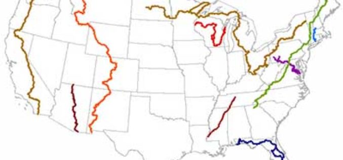
New Maine Maps Feature National Scenic Trails
Newly released US Topo maps for Maine now feature segments of the Appalachian National Scenic Trail (A.T.). Several of the 715 new US Topo quadrangles for the state now
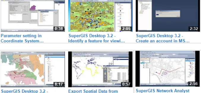
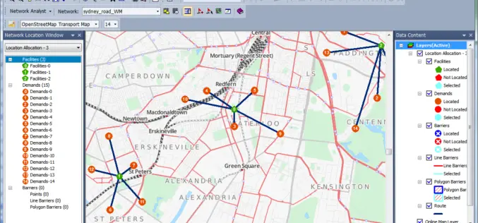
Get the Hang of latest SuperGIS Desktop 3.2
Supergeo Technologies Inc., the global leading GIS software and solution provider, released new Product Demo Videos on Supergeo TV Channel to demonstrate most frequently-used functions in latest SuperGIS
SuperGIS Assists Talented Youth in Winning Geography Olympiad Champion
Supergeo Technologies, the global leading GIS software and solution provider, announce that SuperGIS was chosen in Taiwan Geographic Olympiad 2014 and helped the participants win the first award. The winners

Island University Receives Approval for Ph.D. in Geospatial Computing from Texas Higher Education Coordinating Board
October 24, 2014-AUSTIN, Texas, The Texas Higher Education Coordinating Board approved Thursday (Oct. 23) the creation of a Ph.D. program in geospatial computing at Texas A&M University-Corpus Christi. The first
