
Archive

Call for Chapters: ‘TEMPORALITY AND DIGITAL MAPPING’
TIME TRAVELERS: TEMPORALITY AND DIGITAL MAPPING Editors: Sybille Lammes, Chris Perkins, Nanna Verhoeff, Sam Hind, Alex Gekker, Clancy Wilmott Call for Chapters Digital mapping, though generally conceived as a spatial

BBSRC CASE PhD Studentship in High Resolution (UAV) Remote Sensing for Improving Crop Field Trials
BBSRC offers opportunities for postgraduate training in areas relevant to its mission through a wide range of training awards. A four year, fully funded BBSRC CASE Phd Studentship is available

University of Novi Sad Offers Bachelor with Honours in Geodesy (B.Geod.)
The University of Novi Sad was founded on 28 June 1960. Today it comprises 14 faculties located in the four major towns of the Autonomous Province of Vojvodina: Novi Sad,

Webinar: Creating a BIM Deliverable from a Point Cloud
Proven Workflows: Creating a BIM Deliverable from a Point Cloud Free! – Webinar registration closes 1 hour prior to the live webinar. The on-demand version will be available for viewing within

ISRO’s Mangalyaan Sends Picture of Mars’s Moon Phobos
Almost 20 days after it successfully entered the orbit of the Red Planet, ISRO’s Mars Orbiter on Tuesday sent pictures of Phobos – the largest of the two natural satellites
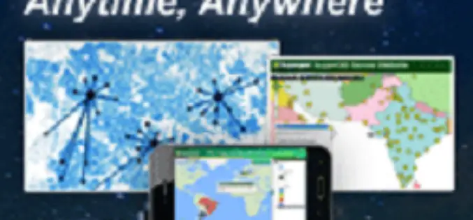
SuperGIS Webinar – Make Enterprise GIS Data & Service Available Anytime, Anywhere
SuperGIS Webinar – Make Enterprise GIS Data & Service Available Anytime, Anywhere Need to share large GIS data across the organization, and assign to field force for specific tasks? SuperGIS

The Countdown has began for the Launch of IRNSS-1C
The 67 hour countdown for the launch of India’s Navigation Mission has began today morning from Sriharikota space station. The IRNSS -1C is the third of seven satellites in a series which
IIRS E-learning Certificate Programmes on Remote Sensing and Geoinformation Sciences
Click to Read the Latest Post on IIRS Online Courses Indian Institute of Remote Sensing (IIRS) under Indian Space Research Organisation, Department of Space, Govt. of

XXXIV (34th) INCA International Congress
INCA announces the conduct of XXXIV (34th) INCA International Congress on Cartography – Exploring New Dimensions 16, 17 & 18 December 2014, Hyderabad, India Indian National Cartographic Association (INCA) announces the

Bhutan to Launch National Geospatial Portal
The National Geospatial Portal of Bhutan will be launched during the Bhutan GIS Expo on 13 October 2014, in Thimphu. The event is jointly organized by the National Land Commission
