
Archive
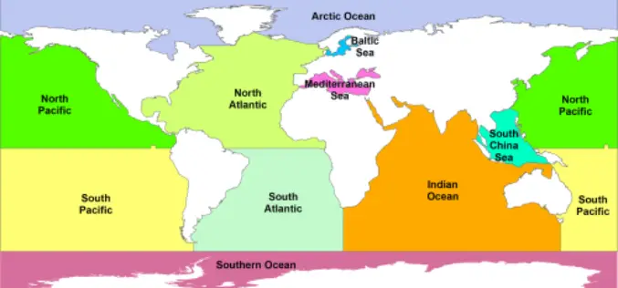
Free GIS Data – Land and Ocean Boundaries Data
Free GIS Data – Land and Ocean Boundaries Data Land and Ocean Boundaries Data GSHHS: A Global Self-consistent, Hierarchical, High-resolution Shoreline Database – which basically means it’s
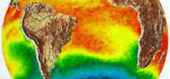
Free GIS Data – Weather and Climate Data
Free GIS Data – Weather and Climate Data Weather and Climate Data WorldClim: Climate data for past, present and predicted future conditions. Includes temperature (min, max, mean) and
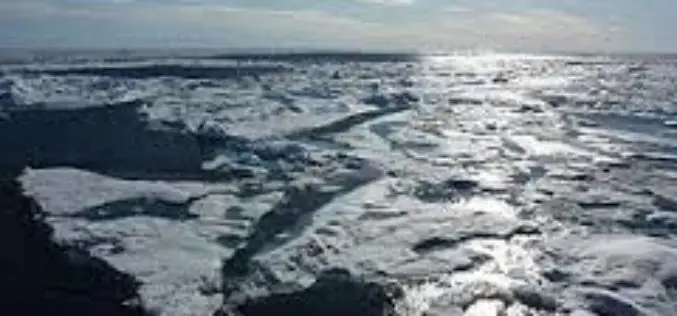
Free GIS Data – Snow/Ice, Lakes, Oceans and other Water Sources Data
Free GIS Data – Snow/Ice, Lakes, Oceans and other Water Sources Data Snow/Ice, Lakes, Oceans and other Water Sources Data Randolph Glacier Inventory: A global inventory of glacier outlines, including
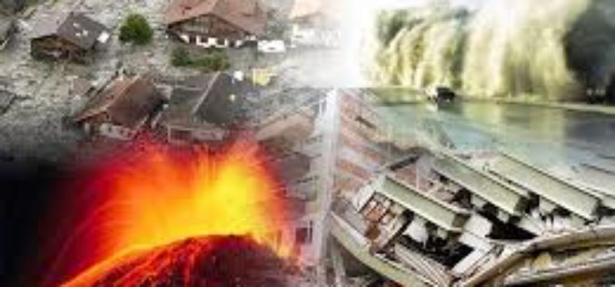
Free GIS Data – Natural Disasters Data
Free GIS Data – Natural Disasters Data Natural Disasters Data Natural Disaster Hazards: Hazard Frequency, Mortality and Economic Loss Risk as gridded data for the globe. Covers cyclones, drought, earthquakes,
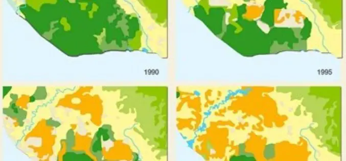
Free GIS Data – Land Cover and Land Use Data
Free GIS Data – Land Cover and Land Use Land Cover and Land Use Data USGS Land Cover Institute: Great set of links to almost all land cover datasets.
Free GIS Data for Ecology
Free GIS Data- Ecology Ecology Data Atlas of the Biosphere: Raster maps of environmental variables including soil pH, potential evapotranspiration, average snow depth and many more. Lifemapper: Species distribution maps
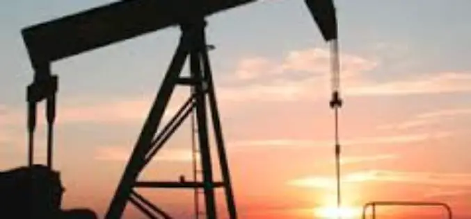
Free GIS Data for Mineral Resources/Oil and Gas
Free GIS Data – Mineral Resources/Oil and Gas Mineral Resources/Oil and Gas Mineral Resources Data System: Vector data of mineral resources across the world including names, locations, descriptions, geological characteristics
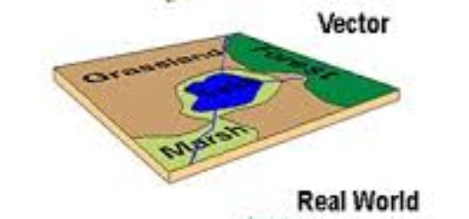
Free GIS Data Portals
Free GIS Data Portals General GIS Data Portals Natural Earth – Vector: Includes coastline, land, oceans, islands, rivers, lakes, glaciated areas and bathymetry. Available at multiple levels of detail. Natural
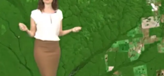
Earth from Space: Adeus, Amazon Rainforest Deforestation
24 years of Amazon Rainforest deforestation in the Brazilian state of Rondônia are shown in a simulated animation. Source: ESA

SimActive Introduces Game-Changing Technology for Mosaic Creation
SimActive Inc., a world-leading developer of photogrammetry software, is pleased to announce Correlator3D™ version 5.4, with significantly faster mosaic creation and a further increase in quality. The process has been
