
Archive

Introducing the MapBox Surface API
Mapbox Surface API: it’s a remarkable new way to access raw data behind a map. Using Mapbox Vector Tiles, the Surface API can look at elevation profiles to crime indices
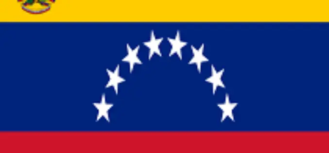
Venezuela to Launch Earth Observation Satellite”Sucre” in 36 Months
In recent news by Shanghai Daily, the manufacturing and launching of Venezuela’s third earth observation or remote sensing satellite will take some 36 months with the help of Chinese technology,

Trimble Adds Satellite Imagery Data Support and Automation for Photogrammetry and Remote Sensing Professionals
BERLIN, Oct. 7, 2014—Trimble (NASDAQ: TRMB) announced today a new version of its photogrammetric software suite—Inpho® version 6.0, which provides highly automated workflows for photogrammetry and remote sensing professionals so
PhD Opportunity at School of GeoSciences, University of Edinburgh
The University of Edinburgh, founded in 1583, is the sixth-oldest university in the English-speaking world and one of Scotland’s ancient universities. It is regarded as one of the most prestigious universities
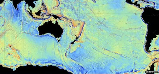
CryoSAT Unveils Secrets of the Deep
ESA’s ice mission has been used to create a new gravity map, exposing thousands of previously unchartered ‘seamounts’, ridges and deep ocean structures. This vivid new picture of the least-explored
RFP for Design & Development of GIS Based Route Management Software
Indian Oil Corporation Limited (IOCL), Delhi, India Request for Proposal for Design & Development of GIS Based Route Management Software IOCL requires route mapping for identifying the shortest route for transportation
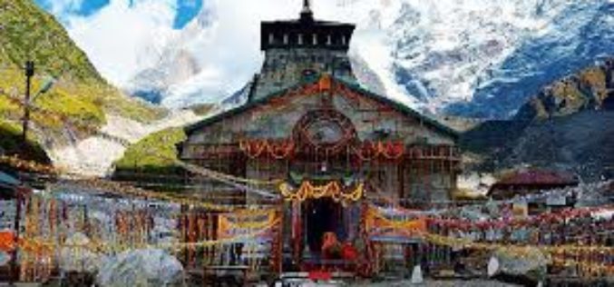
Kedarnath Pilgrims to Get Weather Updates On Phone
Dehradun: Drawing lessons from 2013 calamity at Kedarnath which caught thousands of pilgrims offguard, the state government has completed the digital mapping of Rudraprayag district which will help pilgrims heading for the Himalayan shrine

Iran to Launch 4 Satellites
In recent new, Iran is planning to launch four new satellites with domestically-designed carriers into the space in the near future. The four satellites are named as Sharif Sat, Zafar (Triumph), Tolou

Multi-Sensor Positioning Training for PhDs at University of Nottingham
The University of Nottingham is a public research university based in Nottingham, Nottinghamshire, England, United Kingdom. It was founded as University College Nottingham in 1881 and granted a Royal Charter
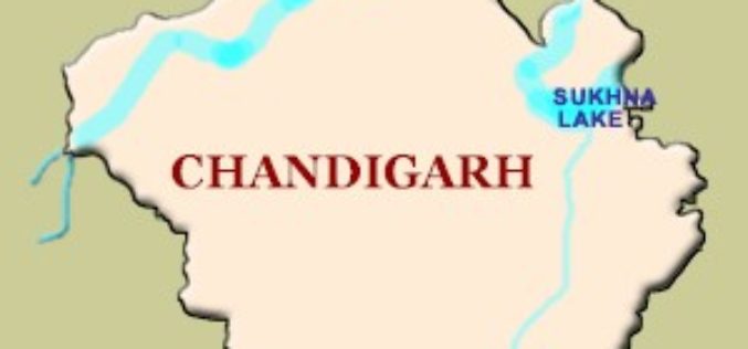
GPS to Map Accident-Prone Areas in Chandigarh
In recent news, Chandigarh traffic police has planned GPS mapping of the entire city. This maps will be created using Geographical Information System (GIS) and will be uploaded online and
