Comparing Machine Learning Classifiers for Object-Based Land Cover Classification Using Very High Resolution Imagery
Comparing Machine Learning Classifiers for Object-Based Land Cover Classification Using Very High Resolution Imagery
– Yuguo Qian, Weiqi Zhou , Jingli Yan, Weifeng Li and Lijian Han
Abstract:
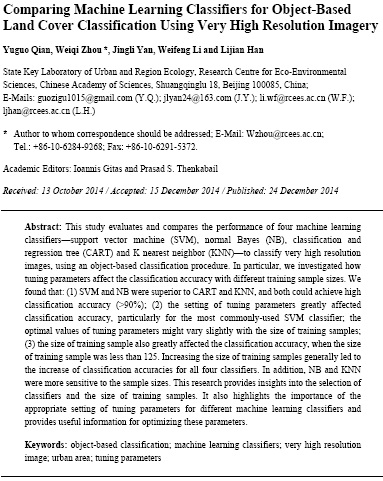 This study evaluates and compares the performance of four machine learning classifiers—support vector machine (SVM), normal Bayes (NB), classification and regression tree (CART) and K nearest neighbor (KNN)—to classify very high resolution images, using an object-based classification procedure. In particular, we investigated how tuning parameters affect the classification accuracy with different training sample sizes. We found that: (1) SVM and NB were superior to CART and KNN, and both could achieve high classification accuracy (>90%); (2) the setting of tuning parameters greatly affected classification accuracy, particularly for the most commonly-used SVM classifier; the optimal values of tuning parameters might vary slightly with the size of training samples; (3) the size of training sample also greatly affected the classification accuracy, when the size of training sample was less than 125. Increasing the size of training samples generally led to the increase of classification accuracies for all four classifiers. In addition, NB and KNN were more sensitive to the sample sizes. This research provides insights into the selection of classifiers and the size of training samples. It also highlights the importance of the appropriate setting of tuning parameters for different machine learning classifiers and provides useful information for optimizing these parameters.
Keywords: object-based classification; machine learning classifiers; very high resolution image; urban area; tuning parameters
About Author
Related Articles
Geo Positioning Accuracy Using Multiple-Satellite Images: IKONOS, QuickBird, and KOMPSAT-2 Stereo Images
Evaluation of Narrowband and Broadband Vegetation Indices for Determining Optimal Hyperspectral Wavebands for Agricultural Crop Characterization
