Archive
ImageConnect to Add High Resolution Imagery by DigitalGlobe into ArcGIS Desktop Environment
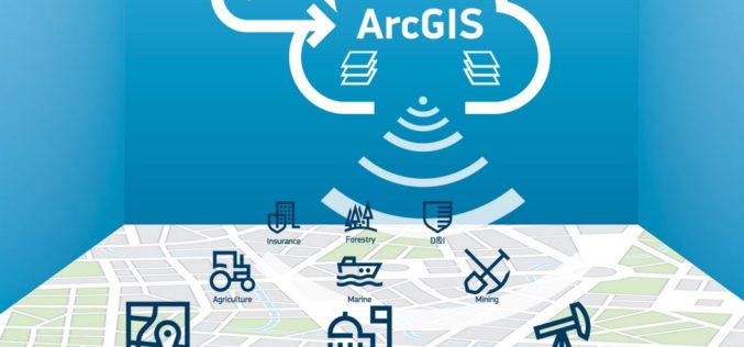
DigitalGlobe in partnership with Esri has come up with a plug-in “ImageConnect” to enhance the GIS experience of ArcGIS platform user. ArcGIS users can download the plugin from ArcGIS Online
On The Right Path with OS Maps
Ordnance Survey has produced a new off-road sat-nav style router in its OS Maps application that covers Britain’s 15 National Parks Using Ordnance Survey’s unrivalled outdoors mapping it allows users to plot
SAR Processing in Geomatica – Online Training
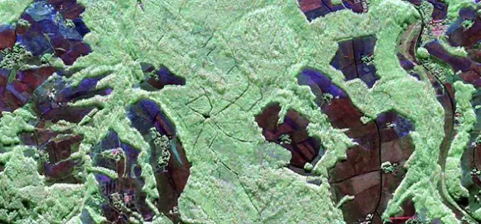
SAR processing in Geomatica is an advanced course that explores data preparation, processing and analysis techniques for working with Synthetic Aperture Radar (SAR) data. In this 3-day course, participants will
Supergeo Confirms Dealership with National Space Organization for FORMOSAT-2 Satellite Imagery
Supergeo Technologies, the leading GIS software and solution provider, announces an agreement with National Space Organization (NSPO), Taiwan to resell the satellite imagery of FORMOSAT-2. The 891 km-above-ground FORMOSAT-2 is
Strong Increase Enquiries on UAVs for Mapping and 3D Modelling in 2015
Geo-matching.com is the first independent product comparison website for geomatic, hydrographic and related industries field. Especially the enquiries and traffic on UAS for Mapping and 3D Modelling products have shown
Satellites Support Crop Yield Estimations in Turkey
Multi-temporal SPOT 6 and SPOT 7 images combined with in-situ measurements deliver crop monitoring and crop production estimates Airbus Defence and Space delivers SPOT 6 and SPOT 7 satellite data
Esri and Leica Geosystems Supercharge Mobile Data Collection with ZenoCollector
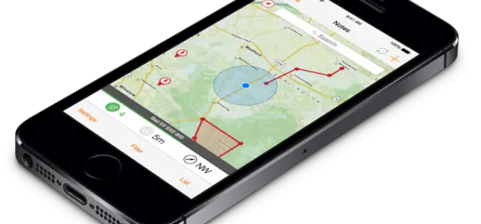
Rugged Precision Handheld, Powered by Collector for ArcGIS, Includes an ArcGIS Online Subscription Esri Collector for ArcGIS, a configurable mobile app for collecting and editing data in the field, has
LizardTech Launches GeoExpress 9.5
LizardTech, a provider of software solutions for managing and distributing geospatial content, announced the launch of GeoExpress 9.5 at this week’s Esri International User Conference, California. GeoExpress enables geospatial professionals to
3D Measurements of Forest Areas
A tangle of treetops and branches, through which just the occasional clear area provides glimpses of the trunks and roots growing below. Whether it is woodland with German spruces or
Utility Crews Tap into High Accuracy GPS with TerraGo Edge
Utility Crews Tap into High Accuracy GPS with TerraGo Edge July 28, 2015 12:00-12:30 PM ET When you’re working with utility infrastructure, accuracy isn’t optional. TerraGo Edge customers can get


