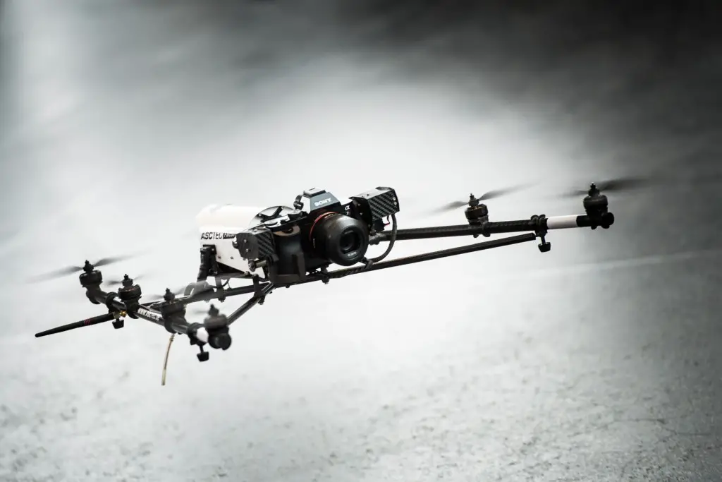
Strong Increase Enquiries on UAVs for Mapping and 3D Modelling in 2015
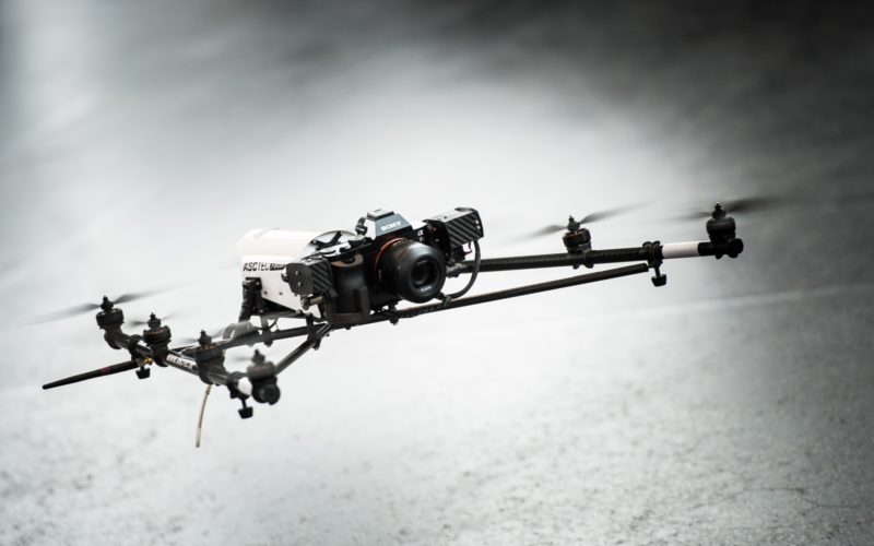
Geo-matching.com is the first independent product comparison website for geomatic, hydrographic and related industries field. Especially the enquiries and traffic on UAS for Mapping and 3D Modelling products have shown a significant increase in 2015.
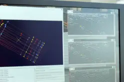
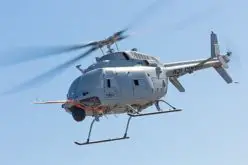
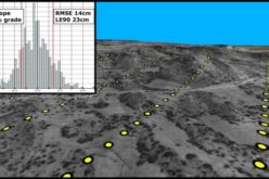
 UAS
UAS
Geo-matching.com provides a complete overview of UAV solutions and cameras, Lidar and processing software. By comparing product specifications and reading product reviews by other users, you can make a well-balanced purchase decision.
In addition to UAV systems, Geo-matching.com also includes GNSS receivers, total stations,digital cameras, laser scanners, Lidar, digital photogrammetric workstations and image processing software.
Categories:
Business