
Archive

The 5 most viewed UAVs for Mapping and 3D Modelling on Geo-matching.com
The Geo-matching.com website features a selection of the most important geomatics equipment, including UAS for Mapping and 3D Modelling. At www.geo-matching.com you find product specifications, videos, brochures and more. Geo-matching.com
Esri Publishes Getting to Know ArcGIS, Fourth Edition
Use the Workbook and Exercises to Get Started Making Maps and Analyzing Data Learn the fundamentals of making digital maps, analyzing geospatial data, and building and editing spatial databases using

Mapping Application “SituMap”- Lets Emergency Responders See Scenes Virtually
CORPUS CHRISTI, Texas – A mapping application that lets first responders quickly and easily “see” an emergency situation with a digital command center is heading to the commercial market. The

Innovative Remote Sensing Applications Developed by Masdar Institute to be Implemented by Mohammed Bin Rashid Space Centre
Students and faculty from the Masdar Institute of Science and Technology have won top prizes for their innovative applications of high-resolution satellite data as part of a competition held by

PCI Geomatics Released Geomatica 2015 Service Pack 1
PCI Geomatics, a world leading developer of remote sensing and photogrammetric software and systems, announced that it has released a service pack for Geomatica 2015, only a few short weeks
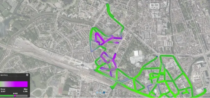
Orbit GT releases Mobile Mapping Content Manager v11.1
Orbit GT releases its data collection flagship product Content Manager v11.1 for Mobile Mapping. “The Orbit Mobile Mapping Content Manager is up to its v11.1 release”, says Peter Bonne, CEO
National Conference on Open source GIS: Opportunities and Challenges
The last 25 years have seen dramatic developments in GIS technology and geographical information science. An important challenge for the GIS community is finding ways of taking advantage of latest

Explore How GIS Tools Help to Manage and Protect the Oceans
Ocean Solutions, Earth Solutions Esri Press Book Explores How GIS Tools Help to Manage and Protect the Oceans Ocean Solutions, Earth Solutions, a new book from Esri Press, chronicles how
Esri Updated Standard Global Demographic Data for 45 Countries
Esri has updated the Standard Global Demographic data for the 45 countries and is now available on the ArcGIS platform. The data is sourced from Michael Bauer Research, is available across the ArcGIS
SuperPad 3.3, Best Fit Solution for Your Field Work!
An update version for SuperPad 3.3 is going to launch! With the effort of Supergeo R&D team, both the usability and reliability had been raised and now fit with more
