
Archive
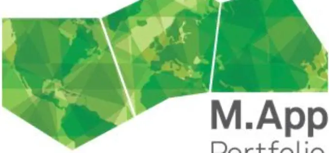
Hexagon Geospatial Announces Early Access to Cloud Apps: Rapid UAS Processing and Online Content Hosting
Be One of the First to Try New Cloud-Based Apps for Managing and Sharing Geospatial Content and an Automated UAS Workflow Hexagon Geospatial is pleased to introduce an early access

PCI Geomatics Releases Geomatica Developer Edition
PCI Geomatics, a world leading developer of remote sensing and photogrammetric software and systems, announced today that it has released the Geomatica Developer Edition (GDE). GDE puts the power of Geomatica
Trivim – A Free and Open Source Software for 3D Street Model Generation
Trivim (Alpha) is a free and open source software for 3D Street Model Generation. Trivim is developed by Indian Institute of Remote Sensing (IIRS). Indian Institute of Remote Sensing (IIRS) under Indian Space Research
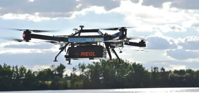
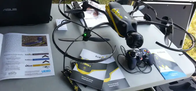
RIEGL with Impressive Display at INTERGEO 2015 in Stuttgart
On the first day of INTERGEO RIEGL delivered an impressive display in Stuttgart! With a special UAV-area at booth E4.079, live demo UAV-flights at the outdoor area, and the unveiling
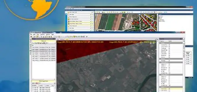
Trimble Transforms Satellite Data into Intelligence with its New Remote Sensing Suite
Customizable Data and Image Processing Software for Geospatial and Remote Sensing Professionals STUTTGART, Germany, Sept. 15, 2015—Trimble (NASDAQ: TRMB) announced today a new software solution, the Trimble® Remote Sensing Suite.

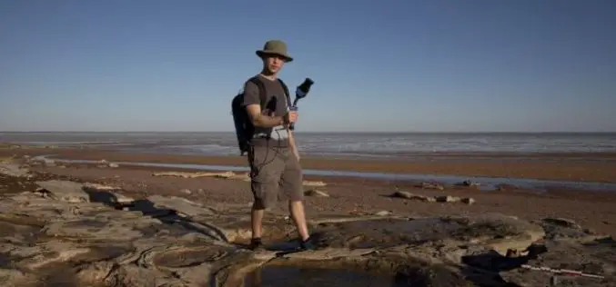
Remote Sensing Technology to Map Flowering Plants
Researchers from Finland, Kenya, South Africa and Sudan have created a flowering map for a semi-arid Savannah site in Africa using a new remote sensing technology. The remote sensing technology combines

China Launches Gaofen 9 Remote Sensing Satellite
China has launched Gaofen 9 remote sensing satellite at 04:45 UTC on Monday using Long March-2D launch vehicle from the 603 Launch Pad of the LC43 Launch Complex to orbit. It is
Mapping Australia’s Dinosaurs Landscape Using LiDAR and Drones
According to recent news by BBC, Scientists are trying to reconstruct ancient Australian landscapes once roamed by some of the biggest dinosaurs. The 130-million-year-old footprints are virtually the only record of
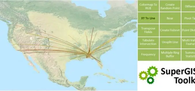
SuperGIS Toolkit 10, Driving Your GIS Tasks Powerfully!
With the popularity of spatial information and the improvements of data-collecting instruments, requirements for spatial data processing functions,across fields, are gradually increasing. In view of this, SuperGIS Desktop 10, which
UAV-g 2015 International Conference: Thrilling Success
UAV-g 2015 International Conference, York University, Toronto, Aug 30-Sep 2, 2015 The UAV-g 2015 International Conference of Unmanned Aerial Vehicles in Geomatics with the theme Small Unmanned Aerial Systems (sUAS):
