
Archive
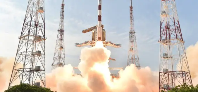
IRNSS 1F Sixth Navigation Satellite Launched Sucessfully
March 10, 2016 – Polar Satellite Launch Vehicle, in its thirty-fourth flight (PSLV-C32), launches IRNSS-1F, the sixth satellite of the Indian Regional Navigational Satellite System (IRNSS). IRNSS-1F was launched into
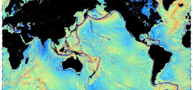
Mapping the Seafloor with Geodesy
Advanced sonar technology has allowed ships to create highly detailed topographic maps, it would take 125-200 ship-years to survey the deep oceans alone, costing billions of dollars. Gravity models are

Postdoc. in Geospatial Visualization
The Leibniz Institute for Regional Geography (Leibniz-Institut für Länderkunde, IfL) is the only non-university research institute for geography in Germany. The institute currently has around 75 employees and an annual

Uttar Pradesh Police to Launch a Web-based Crime Mapping System
Uttar Pradesh Police will launch a web-based crime mapping system on April 1 for “preventive policing” in the state, under which information of all cases registered in last five years

Chandigarh Administration to Prepare GIS-based Master Plan for Land Development
According to recent news by The Tribune, the Department of Urban Planning of the Chandigarh Administration planning to prepare the city’s master plan using the geographical information system (GIS). The

Esri Showcases Open Opportunity Data in ArcGIS Platform at White House Demo Event
Redlands, California—Esri took part in the Expanding Opportunity with Open Data: A White House Demonstration on March 7, 2016. The event showcased digital tools that help people advocate for resources
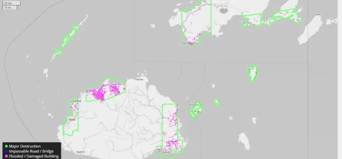
DigitalGlobe Providing Rapid Assessment of Cyclone Damage for Government of Fiji
WESTMINSTER, Colo.–(BUSINESS WIRE)–Mar. 7, 2016– DigitalGlobe, Inc. (NYSE: DGI), the global leader in earth imagery and information about our changing planet, is delivering crowdsourced damage assessments derived from satellite imagery

Learn What Location Analysis Can Bring to Your Business
Esri’s free classes highlighting the benefits of location analysis continue with The Location Advantage. The course is business oriented and explores market planning, site selection, market analysis, and supply chain
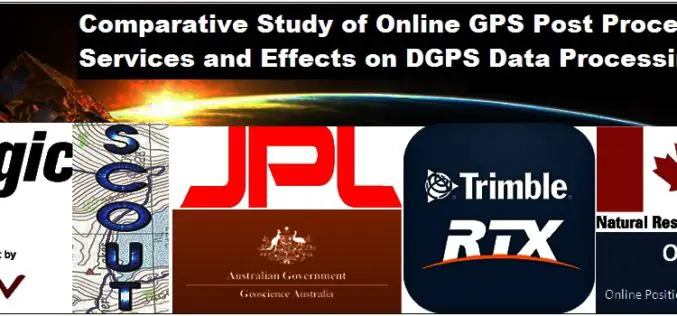
Comparative Study of Online GPS Post Processing Services and Effects on DGPS Data Processing
Comparative Study of Online GPS Post Processing Services and Effects on DGPS Data Processing – Manas Kumar Jha, Saurabh Singh, Nisha Upadhyay, Nishant Khare Increasing dependency on Differential Global Positioning
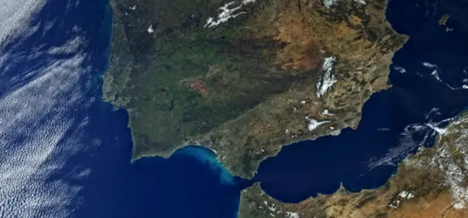
First Views of Earth From Sentinel-3
ESA– The first image from Sentinel-3A captures the transition from day to night over Svalbard, Norway, with detailed Arctic sea ice and some cloud features. Just after two weeks after
