
Archive
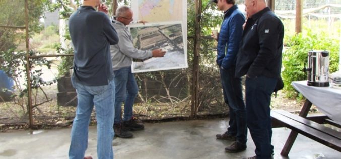
US Forestry Service Shares Remote Sensing Technology with Isreal
Recently USFS representatives visited Israel to share remote sensing technology with their Keren Kayemeth LeIsrael Jewish National Fund (KKL-JNF) counterparts. “Remote sensing technology opens up doors for us in fields
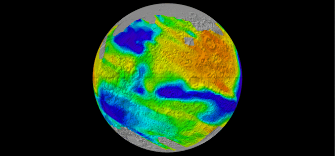
Global Albedo Map of Mars
The albedo of any planetary surface is defined as the fraction of incident solar radiation reflected by the surface. The magnitude and spatial distribution of Martian surface albedo are important
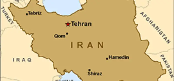
Iran Ready to Launch New Satellite
Iran has got its latest locally developed satellite, named Doosti (Friendship), ready to be launched into orbit, a senior Iranian official said. Iranian ICT Minister Mahmoud Vaezi has said that

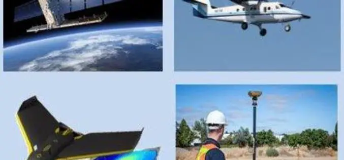
Geomatica 2016 Release Highlights
Geomatica 2016 Release Highlights March 15, 2016 | 4:00 AM EST – 9:00 AM (GMT) | 2:00 PM EST – 7:00 PM (GMT) PCI Geomatics is the developer of Geomatica- a complete

OGC Seeks Public Comment on Candidate OGC® Coverage Collection Extension
4 March 2016 – The membership of the Open Geospatial Consortium (OGC®) seeks public comment on the candidate OGC® Coverage Collection Extension Standard. The candidate OGC® Coverage Collection Extension Standard
MDDA Ready for Drone To Detect Encroachment
Dehradun: Mussoorie Dehradun Development Authority (MDDA) is set to conduct a 15-day trial of a drone to monitor illegal constructions and encroachments from March 8, which will help staff to
2nd Call for Expression of Interest ‘Quantifying Risk and Recovery of Disasters’
The European Commission has launched the second call for expression of interest for a limited number of risk and recovery activations through its Copernicus Emergency Management Service for Risk &
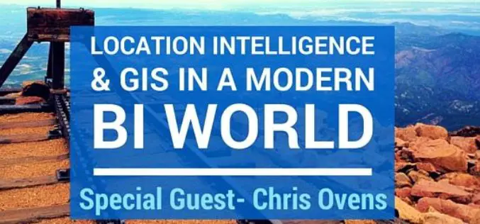
Webinar: Location Intelligence and GIS in a Modern BI World
An expert’s take on how the shift to modern BI and Analytics platforms will impact the future of Location Analytics Thursday March 17, 9-9:30am PST / 12-12:30pm EST Hosted discussion by CMaps Analytics
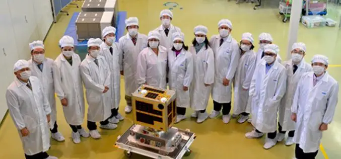
Philippines To Launch Its First Microsatellite
DIWATA-1, which was built by Filipino engineers working in collaboration with Japanese universities, is slated for launch in early 2016. The 50 kg DIWATA-1 microsatellite, named after the Filipino word

Google Joins UNICEF To Combat Zika Virus
Google has joined the United Nations Children’s Emergency Fund (UNICEF) to help map the Zika virus spread to anticipate and prevent future outbreaks using open source. The recent Zika virus outbreak
