
Archive

Microsoft India Using Artificial Intelligence to Help Indian Farmers
New Delhi: New technologies such as Artificial Intelligence (AI), Cloud Machine Learning, Satellite Imagery and advanced analytics are empowering small-holder farmers in India to increase their income through higher crop
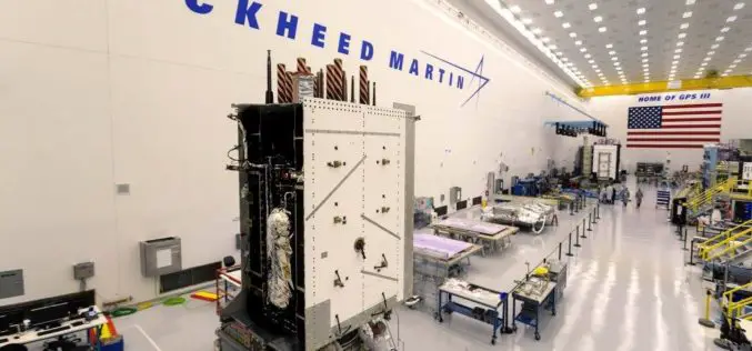
Harris Corporation Delivers Fourth GPS III Satellite Navigation Payload; Establishes Full Production Cadence
Highlights: Completes fourth delivery of ten navigation payloads for Lockheed Martin’s GPS III satellites Advanced payload increases power, accuracy, flexibility and lifespan Harris navigation technology on every GPS satellite; 800-plus
Development Is Required but Environment Preservation Is A Concern
To develop is to move forward. Conserving whatever is left of the Environment is equally important. Development is local/regional. Impact of environmental degradation is global. Development adversely impacts

Open Source Community Accelerates Big Data Analytics for Geospatial Solutions
LocationTech open source community announces new project releases that provide core technology for geospatial big data analytic solutions Ottawa, Canada – December 14, 2017 – LocationTech, an Eclipse Foundation Working Group
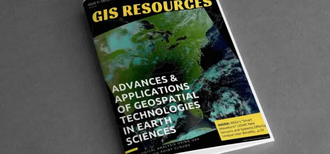
4th Edition of GIS Resources Magazine: Advances & Applications of Geospatial Technologies in Earth Sciences
GIS Resources Magazine (4th Edition): Advances & Applications of Geospatial Technologies in Earth Sciences GIS Resources, a leading global platform for latest and high-quality information source for the geospatial industry, announcing
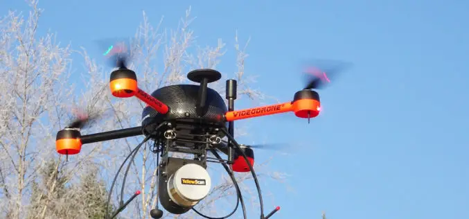
YellowScan and Geotrim Sign a Distribution Agreement for Finland
Montpellier, 15 December 2017 – YellowScan and Geotrim have concluded a distribution agreement for Finland. Headquartered in Vantaa, Geotrim is the Finnish Distributor of Trimble Geomatics solutions with long time experience

Bentley Institute Press Announces Availability of New BIM Publication: Plain Language BIM
Experiences and lessons learned from the BIM Advancement Academy EXTON, Pa.— December 14, 2017 — Bentley Institute Press, publisher of a broad array of textbooks and professional reference works dedicated to
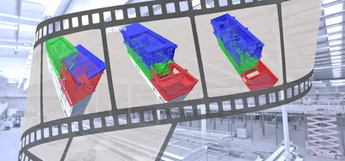
Bryden Wood and 3D Repo Launch Cloud Based 4D Virtual Reality Models for Construction Projects
London, 14 December 2017 – Integrated design and operations consultancy for the built environment, Bryden Wood, and BIM technology innovator, 3D Repo, have launched a new platform for visualising how

GeoSLAM Celebrates Five Years in Business with New HQ, Record Growth
Nottinghamshire, U.K. 13 December 2017 – Leading 3D mobile mapping technology specialist, GeoSLAM, is on track to achieve its growth ambitions in 2018 after relocating to new UK headquarters. The Nottinghamshire-based
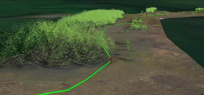
National Grid Trial Aerial LiDAR Inspection for Gas Network
December 12, 2017 – National Grid have announced they are conducting a trial programme using laser scanning data to deliver safety and operational efficiency improvements across their network. In a UK
