
Archive

Bhutan’s Third Remote Sensing Satellite to Boost Earth Observation
GovTech, Bhutan’s government technology agency focused on driving digital innovation and space technology, is spearheading its third satellite project with the goal of developing a cost-effective and rapidly built satellite

£1M Remote Sensing Project to Combat Landslide Risks in the Himalayas
A £1M research initiative, SUPERSLUG, is set to address landslide risks in the Himalayas, using advanced remote sensing and geo-technology to mitigate the long-term impacts of sediment movement on landscapes
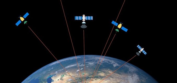
Ginan an Open-Source Real-Time Positioning Correction Service
As the demand for highly accurate positioning systems grows, Geoscience Australia has launched Ginan, an open-source real-time positioning correction service. Developed as part of the Positioning Australia program, Ginan offers
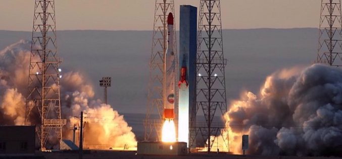
Iran Satellite Launch 2025 to Boost Space Capabilities with Three New Satellites
Iran is preparing to launch three homegrown remote-sensing satellites by the end of the current Iranian calendar year, marking a significant milestone in the Iran Satellite Launch 2025 initiative. The
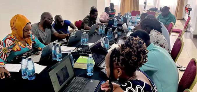
USGS Uses Remote Sensing for Groundwater Mapping in Kenya
Groundwater mapping in Kenya has received a major boost through the use of remote sensing technologies, spearheaded by the U.S. Geological Survey (USGS), USAID, and Northern Arizona University. Remote sensing
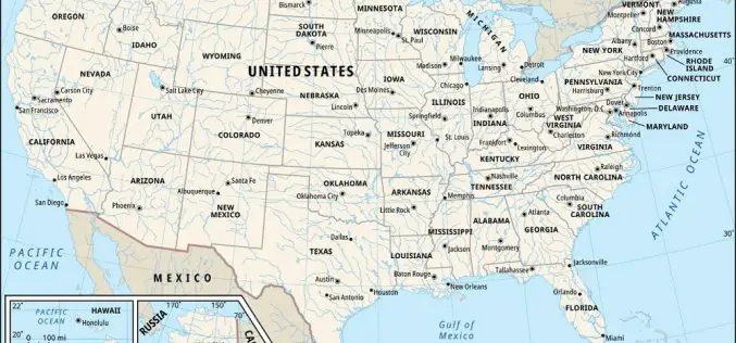
U.S. Census Bureau Geospatial Data Now in GeoPackage Format
The U.S. Census Bureau recently unveiled a major update with the release of new geospatial data that includes the TIGER/Line files in GeoPackage format for the first time. This dataset,

Vehicle Telematics Market Revenue to Cross USD 807.45 Billion by 2036
About Author The global vehicle telematics market is poised to grow at a CAGR of 18.5% over the forecast period, i.e., 2024-2036. Furthermore, the market is set to generate the
