2nd Call for Expression of Interest ‘Quantifying Risk and Recovery of Disasters’
The European Commission has launched the second call for expression of interest for a limited number of risk and recovery activations through its Copernicus Emergency Management Service for Risk & Recovery Mapping.
The call for expression of interest is open until 15th April, 2016.
The call addresses globally located stakeholders in the field of disaster management and civil protection and members of NGO’s working in the humanitarian field.
They can express their interest for map products supporting pre- and post-disaster actions in the emergency management. (DG JRC reserves the right to select most relevant requests as potential activations).
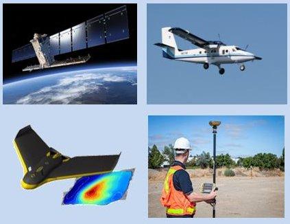
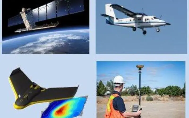
Data acquisition from satellite, aircraft, UAV (drone) and in the field.
Credit: Copernicus
Copernicus Risk and Recovery Mapping (RRM) delivers maps and analyses in support of disaster risk reduction, preparedness and prevention, recovery and reconstruction, to assist disaster managers. RRM focuses on the pre-disaster situation when lending support to disaster prevention and preparedness actions, and on the post-disaster situation when providing support after a disaster, such as reconstruction planning and progress monitoring, and as such complements the Emergency Rapid Mapping service.
Supported disaster types range from natural hazards such as floods, fires, storms, tsunamis, volcanic eruptions, landslides, and earthquakes to industrial accidents and humanitarian crises. Given the need for extended data research and analysis, the delivery of products occurs usually within 20 working days after contract signature. Satellite imagery and GIS layers as data reference is the usual data source on a global level. In addition, a study to use imagery from aerial platforms (airplanes and/or drones) as a complement to satellite imagery is currently on-going.
Typical RRM products are:
- Pre-disaster situation: Hazard exposure, vulnerability, resilience, risk status, evacuation plans and modelling scenarios.
- Post-disaster situation: Post-disaster needs assessment, recovery plans, reconstruction/rehabilitation monitoring, including Internally Displaced Persons (IDP) and refugee camps monitoring.
- Reference analyses and maps providing comprehensive and updated knowledge of the territory and relevant assets.
More information on the Copernicus Risk & Recovery Mapping Service is available in the Risk and Recovery Mapping Portfolio.
Source: European Commission