August 22, 2017 – Putrajaya, Malaysia: The Natural Resources and Environment Ministry (NRE) is developing the National Geospatial Master Plan (NGMP) towards realising the potential of geospatial technology, in line with the government’s National Transformation 2050 (TN50) plan.
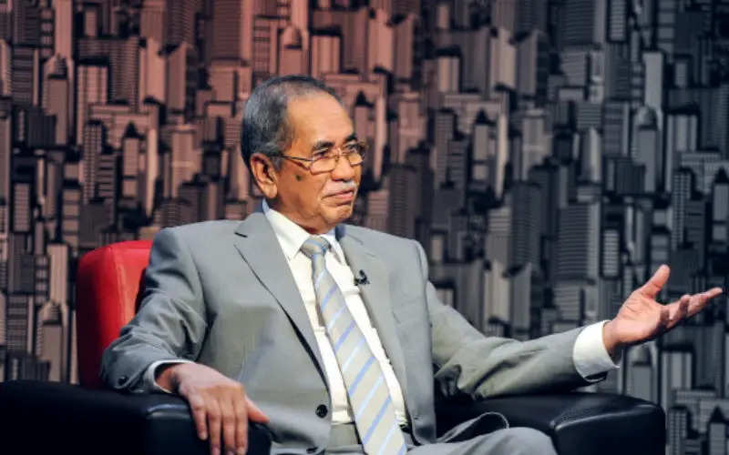
Natural Resources and Environment Minister Datuk Seri Dr Wan Junaidi Tuanku Jaafar said the master plan, expected to be completed by May next year, would encompass the development of a clear policy, a sound legal and enforcement framework, a strategic plan for national geospatial management and national geospatial enterprise architecture.
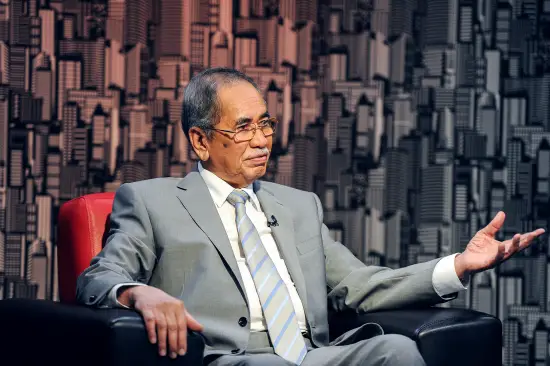
Natural Resources and Environment Minister Datuk Seri Dr Wan Junaidi Tuanku Jaafar — Bernama
There are five important deliverables through the implementation of NGMP, namely the draft on the Geospatial Policies of Malaysia, draft on the Bill for National Geospatial Implementation, proposed structure of the Governance to Manage Geospatial Systems, proposed Design of Enterprise Architecture for National Geospatial Implementation and National Geospatial Strategic Plan (2017-2027).
The CRCSI team is working in conjunction with Malaysia based Dr Nik & Associates to provide a range of strategic activities and technical review and advice for the realization of National geospatial Master Plan.
This two year US$4M project will see a number of outcomes:
- Strengthening governance through the fortification of national geospatial efforts with effective implementation, coordination and enforcement
- Setting a strategic direction for the development of infrastructure / mechanisms for sharing, usage, legislation and enforcement of national geospatial information in an efficient and effective manner for achieving sustainable development through natural growth based on the geospatial information and improving competitiveness and economic growth in the process
- Empowering the National Geospatial Data Infrastructure program by managing geospatial information more clearly and comprehensively, and moving towards the creation of a spatially-enabled government.
Source: CRCSI, theSundaydaily