Create, Share Geotagged, Media-rich Field Reports With New NGA Mobile App
The National Geospatial-Intelligence Agency’s latest publicly available mobile app is now available on iTunes and Google Play.
The Mobile Awareness GEOINT Environment, MAGE, was developed to support first responders deploying in the event of natural disasters.
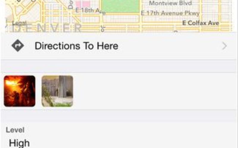
MAGE allows individuals to create geotagged field reports and record observations containing media components such as photos, videos and voice recordings, then share those reports instantly with other team members.

“MAGE allows teams across multiple agencies that normally can’t communicate in real time during security events to quickly and easily start sharing geospatial information,” said Ben Tuttle, Ph.D, NGA’s mobile apps team lead.
MAGE allows for the storage of geospatial data layers, including map tiles and vector data, on mobile devices. These layers are available at all times, even while disconnected from the network. The app can also be customized for any team’s situation, including natural disaster response and law enforcement, security, or military situations.
The app, previously available only via NGA’s GEOINT App Store, was used by security personnel supporting events such as the 2014 Sochi Olympics.
Releasing MAGE to the App Store will allow broader use and support for non-Department of Defense users, said Tuttle. NGA is releasing this application to the general public to increase the impact of government investments in unclassified mobile initiatives.
MAGE joins NGA’s other mobile apps the Disconnected Interactive Content Explorer, or DICE and the Anti-Shipping Activity Messages, or ASAM, already on iTunes and Google Play.
The open source code for MAGE is available on NGA’s GitHub site.