ISRO Set to Launch GISAT-1A Geo-Imaging Satellite for Real-Time Earth Observation
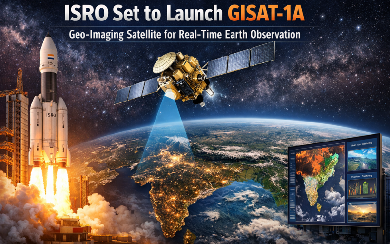
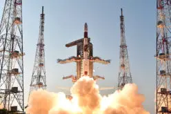
India’s Indian Space Research Organisation (ISRO) is preparing to launch GISAT-1A (also designated EOS-05), a next-generation geo-imaging satellite designed to deliver near-real-time Earth observation of the Indian subcontinent from geostationary orbit. The mission, scheduled for March 2026 aboard a GSLV-F17 rocket from Satish Dhawan Space Centre, Sriharikota, replaces the failed EOS-03 mission lost during the GSLV-F10 launch anomaly in August 2021.
Background and Mission Context
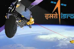
The Geo Imaging Satellite (GISAT) series was conceived to give India an uninterrupted spatial view of its landmass from space. Unlike conventional sun-synchronous polar-orbit satellites that revisit the same location after several days, geostationary satellites remain fixed over the same region relative to Earth’s rotation. India’s first GISAT satellite (EOS-03) never reached orbit after a cryogenic upper stage anomaly during GSLV-F10 in August 2021 — a setback that temporarily halted India’s continuous geo-imaging ambitions. Since then, ISRO engineers undertook extensive design reviews, system-level corrections, and validation exercises. GSLV vehicles have since completed four successful missions, including the launch of the joint NASA-ISRO NISAR satellite in July 2025.
Also Read – ISRO Develops Chemical Emergency Response System for Kerala
GISAT-1A Satellite Technology and Payload
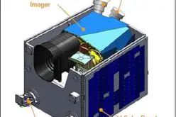
GISAT-1A is a 2.2-tonne satellite built by ISRO’s UR Rao Satellite Centre in Bengaluru. Operating from geostationary orbit (GEO) at approximately 36,000 km altitude, the satellite carries an advanced optical payload featuring a 700-mm Ritchey-Chretien telescope mounted on a modified I-2K satellite bus.
The imaging system integrates both multispectral and hyperspectral sensors operating across the visible, near-infrared (VNIR), and short-wave infrared (SWIR) bands:
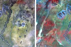
Multispectral imaging delivers a ground sampling distance (GSD) of approximately 42 metres, suitable for wide-area monitoring. Hyperspectral observations provide spatial resolutions from 191 to 318 metres across hundreds of narrow spectral channels, enabling detailed analysis of vegetation health, crop stress, soil moisture, and mineral composition. The satellite’s temporal revisit capability allows imaging of selected areas every 5 minutes and the entire Indian landmass every 30 minutes — a dramatic improvement over polar-orbit systems.
GISAT-1A – Coverage, Launch, and Orbital Parameters
GISAT-1A will be placed into a Geostationary Transfer Orbit (GTO) by the GSLV-Mk II (GSLV-F17) rocket before using onboard propulsion to reach its final geostationary slot above the Indian subcontinent. The Second Launch Pad at Satish Dhawan Space Centre, Sriharikota, serves as the launch site. The satellite’s geostationary position fixes its Earth observation footprint over South Asia, offering continuous, all-weather monitoring capability across India, its ocean territories, and neighbouring regions.
Applications and Impact for the Geospatial Community
GISAT-1A’s near-real-time satellite remote sensing capability will support disaster management (cyclone tracking, flood monitoring, forest fire detection), precision agriculture, snow and glacier monitoring, oceanographic studies, and border surveillance. The satellite directly serves government agencies including the National Remote Sensing Centre (NRSC) and ISRO’s Bhuvan geoportal platform, both of which deliver critical geospatial data integration services to Indian planners and researchers.
Conclusion
GISAT-1A represents a pivotal step in India’s Earth observation roadmap. If successful, the mission will end a five-year gap in India’s geostationary geo-imaging capability and strengthen the country’s independent geospatial intelligence infrastructure. For the broader geospatial community, it demonstrates how national space programmes can recover from technical setbacks through rigorous engineering review and redeploy critical remote sensing assets with enhanced capability.
References
1. ISRO Official Website: www.isro.gov.in
2. The Week India, February 6, 2026 — ISRO gears up for GISAT-1A launch
3. Space Calendar — spacecalendar.com/event/launch-gslv-mk-ii-gisat-1a-eos-05