
Posts From GIS Resources

TBC Webinar: TBC Power Hour – Defining and Working with Grid and Ground Coordinates
TBC Power Hour – Defining and Working with Grid and Ground Coordinates JULY 26, 2017 | 08am MT / 4pm MT Grid Coordinates. Ground Coordinates. Two fundamental concepts for surveyors
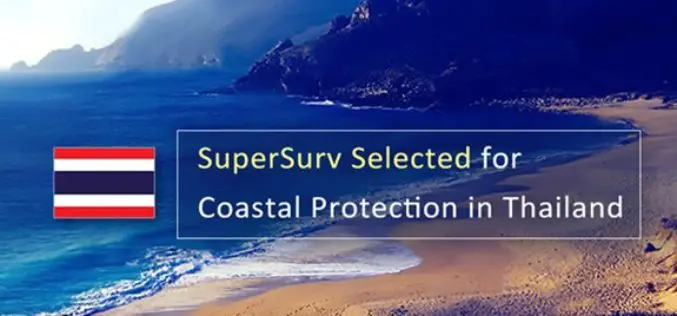
SuperSurv 10 Selected for Coastal Protection in Thailand
Supergeo is delighted to announce that the cutting-edge mobile GIS app- SuperSurv 10 has been selected by a government agency that is in charge of protecting marine and coastal resources

Trimble and Komatsu Collaborate to Improve Interoperability for Mixed Fleet Earthworks Customers
SUNNYVALE, Calif., July 14, 2017—Trimble (NASDAQ:TRMB) and Komatsu Ltd. announced today that they are collaborating to improve their customers’ ability to exchange 3D construction site data between Komatsu and Trimble
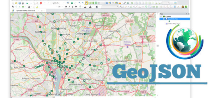
Embrace GeoJSON Format Together with SuperGIS Desktop
In recent years, as value-added services get increasingly popular in IT industry and civic engagement becomes a new trend in governance, the idea of Open Data turns out to be

User-defined Coordinate System Will Soon Be Available in SuperSurv 10
Data collection is always a crucial work before making decisions in almost every professional field. In geo-related fields, the ability to collect geospatial data quickly and accurately will significantly improve

UrtheCast and Esri Partner in Bringing Imagery to Life in ArcGIS
Madrid, Spain, July 11, 2017 – UrtheCast Corp. and its subsidiary, the Earth Observation company Deimos Imaging, today announce a broad partnership with Esri, starting with a new UrtheCast imagery service

Col-East to Perform Obstacle Obstruction Survey at Massachusetts Airport
NORTH ADAMS, Massachusetts, 10 July 2017 – Col-East International Ltd., a provider of aerial photogrammetric services in the Northeast U.S. since 1952, has been contracted to perform an airborne survey and

Smart Map Bhopal: A City Level Web-Based GIS solution
Smart Map Bhopal is an enterprise-wide web-based GIS solution created using ArcGIS platform and seamlessly functions across various the web & mobile devices. GIS System will provide
LandScape 7.4: Faster Point Cloud Loading, Change Detection Tools & VR Option
DAT/EM Systems International Updates Landscape Software to Deliver Faster Point Cloud Loading and Change Detection Tools Version 7.4, with Virtual Reality Option, to be Demonstrated at Esri Events in San

CompassCom to Release CompassTracker App for iOS & Windows Mobile Smart Phones at Esri User Conference
CENTENNIAL, Colorado, 6 July 2017 – CompassCom Software, developers of industry-leading Mobile Resource Management (MRM) solutions, will release CompassTracker for iOS and Windows Mobile at the 2017 Esri User Conference.
