
Posts From GIS Resources
Empowering Women in STEM; RMSI bags the esteemed CII Excellence Award 2024
RMSI, a global leader in geospatial and engineering solutions, is proud to announce its recognition as a recipient of the “CII Award on Excellence for Women in STEM 2024.” This prestigious award
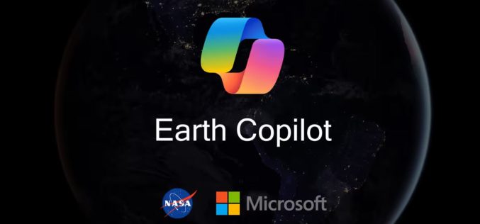
NASA and Microsoft’s Earth Copilot AI Initiative
Microsoft and NASA have partnered to launch the Earth Copilot AI Initiative, a transformative tool designed to simplify access to NASA’s vast Earth science data. This collaboration combines Microsoft’s cutting-edge

Mobile-Based Ionosphere Mapping To Enhance GPS Accuracy
In a significant leap forward for atmospheric science, researchers have successfully used data from millions of Android phones to map the ionosphere, an area of Earth’s upper atmosphere crucial to
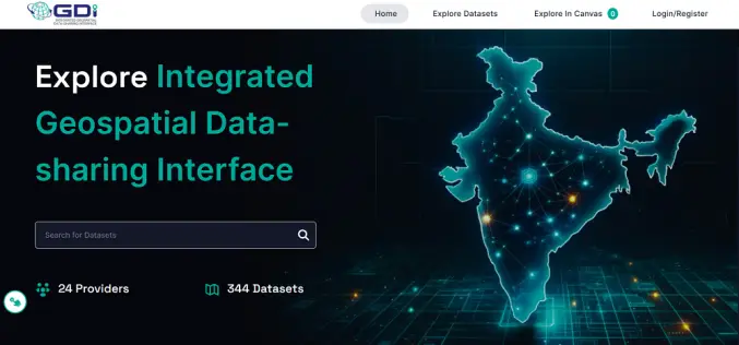
India Launches Geospatial Data Interface for Enhanced Data Sharing
The Ministry of Science and Technology recently launched the Integrated Geospatial Data-sharing Interface (GDI), a new initiative to streamline access to geospatial data in India. The announcement was part of
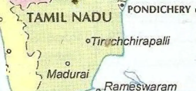
Tamil Nadu to Use GeoAI-based Smartphone App for Detecting Land Encroachments
The Tamil Nadu government is set to introduce an AI-powered smartphone app for detecting land encroachments. This innovative tool will utilize satellite imagery, GIS data, and a detailed geospatial database
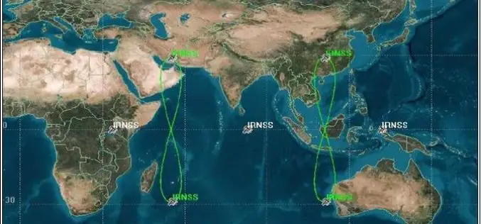
Access to ISRO’s NavIC Soon on Your Phone
India’s navigation capabilities are advancing as ISRO expands NaVIC (Navigation with Indian Constellation) to civilian use and access to mobile phones. NaVIC, formally known as IRNSS, which comprises seven satellites

LiDAR Technology Uncovers Hidden Silk Road Cities in Uzbekistan
Recent advancements in LiDAR (Light Detection and Ranging) technology have revealed hidden remnants of Silk Road cities in Uzbekistan, uncovering archaeological treasures that had remained buried for centuries. The discovery

Oman First Satellite Launch: A Major Leap in Space Technology
Oman has achieved a significant milestone in space technology with the Oman First Satellite Launch (on November 11 2024) of its pioneering satellite, “OL-1.” The launch, represented by Oman Lens

Jakarta’s GIS Initiative for Sustainable Marine Ecosystem Conservation
In a bid to enhance marine ecosystem conservation, the Jakarta provincial government has introduced Geographic Information System (GIS) technology to better monitor and manage its marine spaces. Unveiled by Suharini
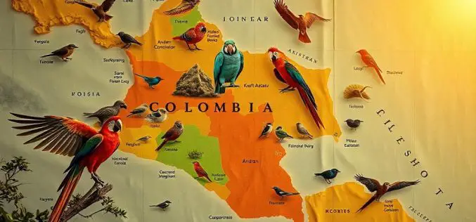
How Colombian Bird Mapping Supports Biodiversity Hotspots
A team of Colombian researchers, led by Natalia Ocampo-Peñuela, assistant professor of environmental studies, has introduced new mapping techniques that are transforming Colombian bird mapping and conservation efforts. Published in
