
Posts From GIS Resources

US-Bahrain Geospatial Initiative Boosts Regional Security
The United States and Bahrain have embarked on a transformative partnership with the launch of the Geospatial Acceleration Initiative under the Comprehensive Security Integration and Prosperity Agreement (C-SIPA). This initiative

India-US Geospatial Alliance Boosts Trade Prospects
The India-US Geospatial Alliance has set an ambitious target to expand bilateral trade in geospatial technologies from the current $2.5 billion to $10 billion by 2030. This initiative aims to
Karnataka Adopts Satellite Forest Monitoring To Tackle Encroachments
In a groundbreaking move, Karnataka has introduced satellite surveillance to combat illegal forest encroachments, aiming to safeguard its green cover and ecological balance. This innovative system, known as the Forest
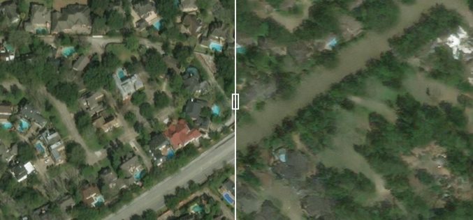
Predicting Flood Impacts with Generative AI and Physics-Based Models
Understanding the potential effects of hurricanes before they strike is crucial for helping residents prepare and take necessary actions, such as evacuation. Researchers at MIT have developed an innovative approach
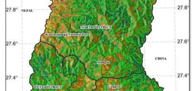
Sikkim’s Glacial Flood Mitigation Expedition
To address the growing threat of glacial lake outburst floods (GLOFs), the Sikkim government has initiated its fourth and final expedition for 2024. Scheduled from November 27 to December 5,
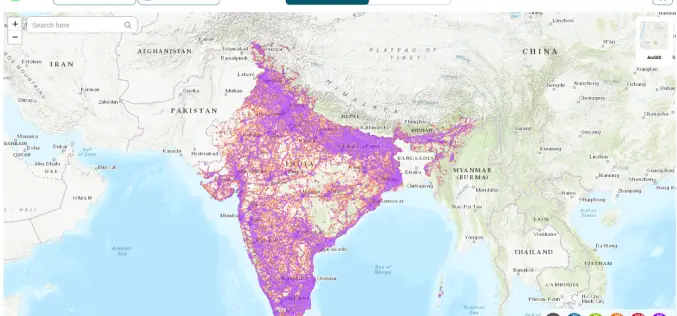
TRAI’s Push for Geospatial Telecom Coverage Maps in India
In a significant move aimed at enhancing transparency and empowering consumers, the Telecom Regulatory Authority of India (TRAI) has issued a new directive for wireless service providers. According to the

How Forest Mapping in Japan Enhances Carbon Sequestration
Accurate forest information is crucial for effective climate change strategies. Forests, covering about a third of the Earth’s land area, play a pivotal role in carbon sequestration—absorbing carbon dioxide from
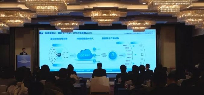
China Launches GEOVIS Cloud for Public Data Access
China recently unveiled the GEOVIS Cloud Open Platform, an innovative cloud-based service to enhance access to remote-sensing data and aerospace information. Launched on Friday, this platform is designed to make
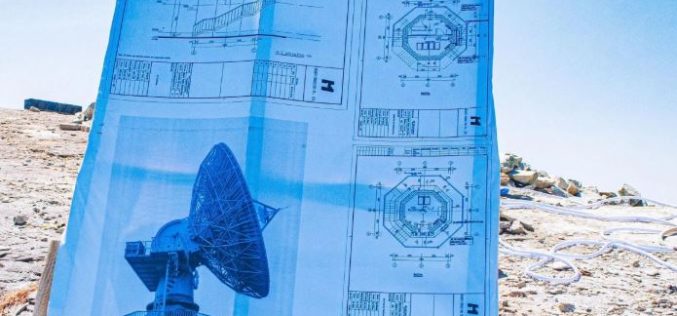
Nigeria Geodetic VLBI Project: A Leap in Geodesy and Technology
Nigeria recently marked a significant milestone in its scientific and technological landscape with the groundbreaking ceremony for the country’s first Geodetic VLBI project. The event, held at the Center for
Fathom’s flood data supports the Malaria Atlas Project’s climate risk initiative in Africa
How does flooding impact malaria risk in Africa? With climate change modifying flood risk, what subsequent effect will this have on malaria control? These are the questions the Malaria Atlas
