
Posts From GIS Resources

Ginan an Open-Source Real-Time Positioning Correction Service
As the demand for highly accurate positioning systems grows, Geoscience Australia has launched Ginan, an open-source real-time positioning correction service. Developed as part of the Positioning Australia program, Ginan offers

Iran Satellite Launch 2025 to Boost Space Capabilities with Three New Satellites
Iran is preparing to launch three homegrown remote-sensing satellites by the end of the current Iranian calendar year, marking a significant milestone in the Iran Satellite Launch 2025 initiative. The

USGS Uses Remote Sensing for Groundwater Mapping in Kenya
Groundwater mapping in Kenya has received a major boost through the use of remote sensing technologies, spearheaded by the U.S. Geological Survey (USGS), USAID, and Northern Arizona University. Remote sensing
U.S. Census Bureau Geospatial Data Now in GeoPackage Format
The U.S. Census Bureau recently unveiled a major update with the release of new geospatial data that includes the TIGER/Line files in GeoPackage format for the first time. This dataset,

Vehicle Telematics Market Revenue to Cross USD 807.45 Billion by 2036
About Author The global vehicle telematics market is poised to grow at a CAGR of 18.5% over the forecast period, i.e., 2024-2036. Furthermore, the market is set to generate the
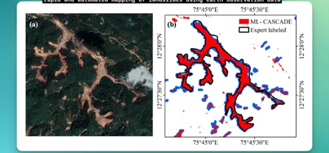
IIT Delhi Develops Tool for Automated Mapping of Landslide Events
Researchers from the Civil Engineering Department at IIT Delhi have introduced a groundbreaking tool, ML-CASCADE, aimed at Automated Mapping of Landslide extents using satellite data. This cloud-based machine learning tool
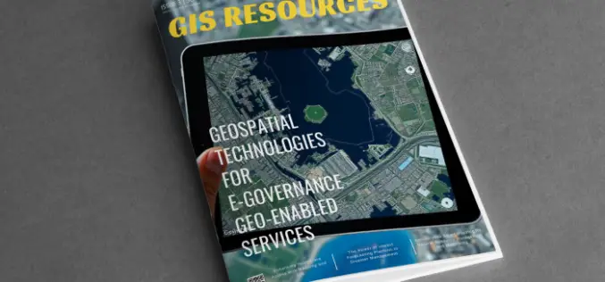
GIS Resources Magazine (Issue 3 | September 2024): Geospatial Technologies For E-Governance Geo-Enabled Services
GIS Resources is pleased to announce the publication of its 3rd edition (September 2024) of the print and digital magazine. The edition is titled “Geospatial Technologies For E-Governance Geo-Enabled Services” Geospatial

RIEGL’s Ultimate LiDAR Technology New Products Launch at INTERGEO 2024
RIEGL’s Ultimate LiDARTM Technology offers a wide range of performance characteristics and serves as a platform for continuing Innovation in 3D for the LiDAR industry. New products, that will be

Trimble Introduces New Direct Georeferencing Portfolio for UAV Mapping
Trimble (Nasdaq: TRMB) has announced the launch of premium direct georeferencing solutions for mapping sensors on uncrewed aerial vehicles (UAVs) – the Trimble® APX RTX portfolio. When used by original
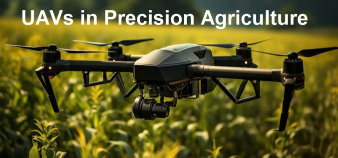
Free Course Offered by ITC on UAVs in Precision Agriculture
Are you fascinated by the role of UAVs in modern precision agriculture? If so, this comprehensive and free online course is designed for you! Tailored by UAV remote sensing experts,
