
Posts From GIS Resources
GeoIKP: Visualizing and Mitigating Hydro-Meteorological Risks
The Geospatial Information Knowledge Platform (GeoIKP) is a platform developed by the OPERANDUM project that serves as a central hub for information and resources related to Nature-Based Solutions (NBS) for
From RINEX 2.11 to 4.0: A Guide to GNSS Data Evolution
RINEX, or Receiver Independent Exchange Format, has been a cornerstone in the Global Navigation Satellite System (GNSS) community since its inception. It allows the exchange of raw satellite navigation data

Apple Maps Goes Web Challenges Google
Apple has officially launched Apple Maps on the web in a public beta, marking a bold step to challenge the dominance of Google Maps. This move allows users to access
Understanding the Importance of L5 Frequency in GNSS
The Global Navigation Satellite System (GNSS) has revolutionized the way we navigate and position ourselves in the world. With continuous advancements, one of the most significant developments in recent years

Fluid Systems Uses TatukGIS SDK for Software to Model Hydraulic Networks
Warsaw based company Fluid Systems Ltd., founded in 1993, develops proprietary software for the simulation and optimization of fluid networks (gas, water, district heating, and sewage) and carries out consultancy
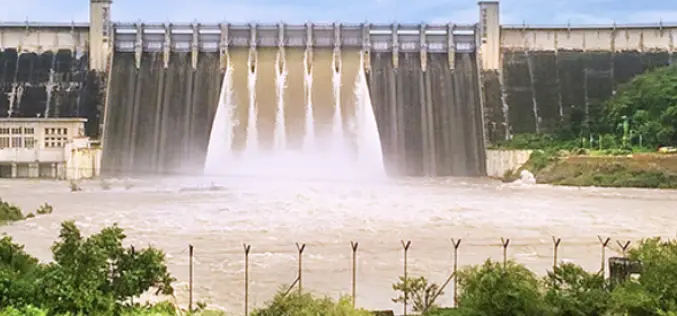
Drones and ROVs for Dam Survey
The Uttar Pradesh (UP) government has initiated a significant project utilizing drones and remote vehicles to conduct the Rihand Dam survey. The Rihand Dam in the Sonbhadra district of Uttar

India Post Introduces DIGIPIN: A Geo-Coded Addressing System
The Department of Posts is taking a significant step towards streamlining the addressing system in India with the introduction of the Digital Postal Index Number (DIGIPIN). This initiative aims to

Nigeria Renews Partnership with NASA to Advance Space Geodesy and Geohazard Research
The National Space Research and Development Agency (NASRDA) has renewed its Memorandum of Understanding (MoU) with NASA to advance space geodesy and geohazard research at the Centre for Geodesy and

Calling Innovators: Be Part of ISRO Immersion Startup Challenge Today!
Are you ready to ignite the future of space exploration? The ISRO Immersion Startup Challenge is a one-day event designed to spark innovation, build connections, and empower the next generation

GeoSynth: AI To Create Satellite Images From Text Prompts
Imagine a world where you can conjure detailed satellite images merely through verbal descriptions. This is the groundbreaking capability of GeoSynth, a generative AI-driven system transforming satellite imagery. GeoSynth’s prowess
