
Posts From GIS Resources
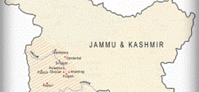
Google Crisis Tool for the Jammu and Kashmir Floods
In recent blog by Google India, Google has come up with a crisis tool to support the people who are affected by recent Jammu & Kashmir flood. The blog says:
GIS-powered Vector Mosquito Data Management System to Enhance Public Health
In warm and humid subtropical areas like Southeast Asia, prevention and cure of vector mosquito is a key mission for epidemic and diseases control authorities. To achieve the goal, officers

RFP for Establishment of an Enterprise GIS and GIS applications
Principal Chief Conservator of Forests (PCCF), Odisha, India Request for Proposal for Establishment of an Enterprise GIS and GIS applications in Forest Department , Government of Odisha. Reference No. – RFP
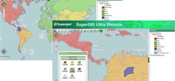
The Latest SuperGIS Server 3.2 Upgraded for Enhanced Service Management and Efficiency
The newest version of SuperGIS Server 3.2, developed by Supergeo, is now launched to global users. The new edition provides enhanced user interface and service management workflow, to assist developers

Ways to Maximise the benefits of Abu Dhabi Spatial Data Infrastructure (AD-SDI) discussed during GIS Forum MENA
The Abu Dhabi Spatial Data Infrastructure (AD-SDI), a programme managed within the Abu Dhabi Systems and Information Centre (ADSIC), showcased its latest achievements and promoted discussions on the sharing of
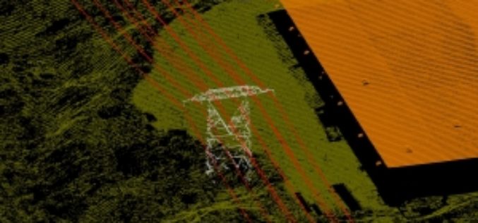
Leica Geosystems Releases ALS80 Next Generation LIDAR Mapping Solution with Market-Leading Productivity
Leica Geosystems introduces its next generation of airborne LiDAR solutions, the Leica ALS80. By incorporating advanced laser technology, new high-speed point cloud generation and viewing software, faster acquisition

An Exciting Challenge to Climb the Height of Everest Without Ever Leaving London – Step Up Mountain Challenge
The Mayor of London and Ordnance Survey support Daniel Raven-Ellison’s Step Up Mountain Challenge 8–17 September Daniel, from Ealing, has been dubbed the “guerrilla geographer” and his journey up the most famous,

Boundless Introduces New QGIS Support Packages at FOSS4G
Benjamin Trigona-Harany to Conduct QGIS for Analysts Workshop at the Conference September 8, 2014 – Boundless, the leading provider of Spatial IT software and services, announced new QGIS support and training offerings

Geospatial Corporation’s CEO Mark Smith to Present at the ENERGIS Conference Hosted by Range Resources, Pittsburgh PA
The conference addresses geospatial and GIS technologies and needs within the energy industry. Mark Smith will be presenting a case study with Mike Hopkins of Vantage Energy PITTSBURGH, PA–(Marketwired –
RFP for Carrying out GIS Mapping of Pipeline
Gas Authority of India Limited (GAIL) Public Sector Undertaking (PSU) Uttar Pradesh, India Request for Proposal for GAIL (India) Limited invites e-bids from eligible bidders for “Carrying out Geospatial Information System
