
Posts From GIS Resources
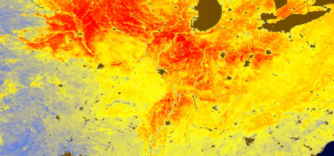
Solar Induced Chlorophyll Fluorescence – A Better Predictor of Crop Stress through Satellite Remote Sensing
Solar Induced Chlorophyll Fluorescence is an electromagnetic signal re-emitted by Chlorophyll-a of a plant which was absorbed by chlorophyll-a and chlorophyll-b from active photosynthetic radiation but unused for photosynthesis.
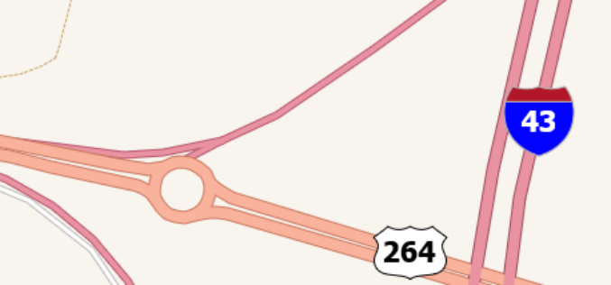
TatukGIS Integrates Road Shields
TatukGIS announces integrated support for highway and route shields in its GIS SDK and desktop GIS products. A built-in SVG symbols library provides easy access to shields commonly used to
Tamil Nadu Pushes Agriculture Budget for Use of AI, Remote Sensing, and Drones
The Tamil Nadu (India) Agriculture State Budget for 2022-23 emphasizes the use of technology such as IoT, Artificial Intelligence, Drones, and Remote Sensing, as well as a role for industries
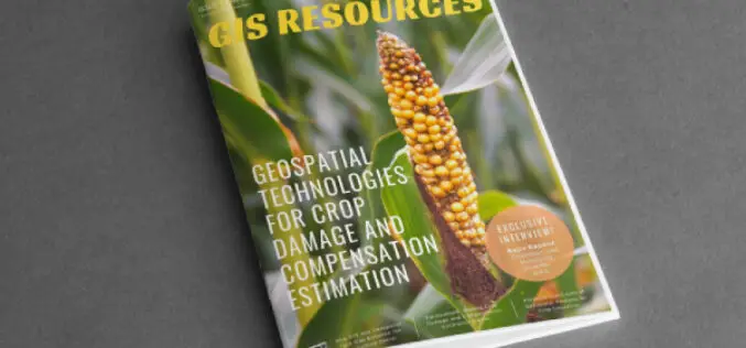
GIS Resources Magazine (Issue 1 | March 2022): Geospatial Technologies for Crop Damage and Compensation Estimation
GIS Resources is pleased to announce the publication of its 1st edition (March 2022) of the print and digital magazine. The edition titled “Geospatial Technologies for Crop Damage and Compensation Estimation.”

Tips To Lower and Manage Your Hospital Bills
According to new data in 2021, half of Americans have medical debt. Millions of people are experiencing difficulty paying off their medical bills as a result of a broken system.

How to Select the Best Company Credit Card
People are used to using credit cards for all kinds of things nowadays and I am sure that you have your fair share of experience with these as well. Yet,
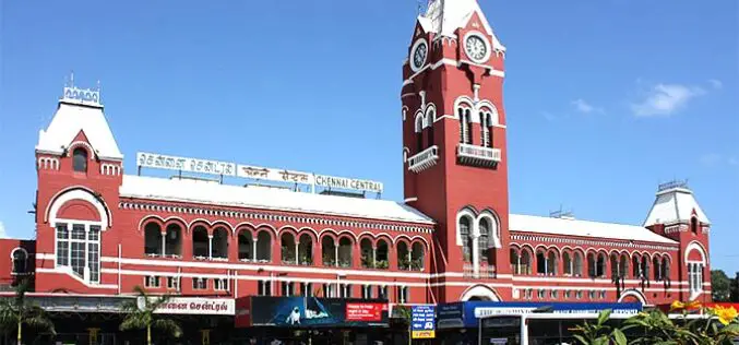
Geospatial Buzz in Chennai: to Fight Crime and Criminal and to Map Public Utilities
Chennai city (India) is in the news for the implementation of geospatial technologies to fight crime & criminal and to map public utilities. Geospatial technologies are playing an increasing role
Everything You Need To Know About GPS L1, L2, and L5 Frequencies
There are three civilian GPS frequencies: L1 at 1575.42 MHz, L2 at 1227.60 MHz, and L5 at 1176.45 MHz. Each frequency has unique properties that make it better suited for certain types of applications.
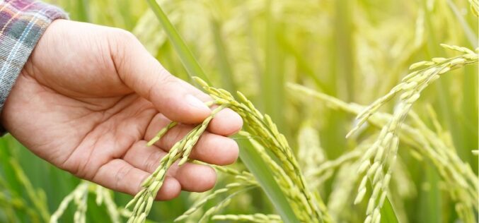
How Geospatial Technologies Are Bringing Another Green Revolution In India
By integrating spatial information with data on crops, irrigation, weather, and soil characteristics, researchers can develop models that help farmers optimize their production. In this way, geospatial technologies are bringing another green revolution in India.
Esri India Young Scholar Contest (2022) for Indian Scholar to Showcase GIS Project
Esri India is hosting an open contest for Indian Young Scholars 2022, to identify the one who will be able to showcase a GIS Project in front of a live
