
Posts From GIS Resources
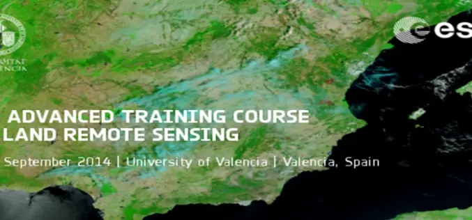
5th ESA Advanced Training Course on Land Remote Sensing
5th ESA Advanced Training Course on Land Remote Sensing : 8-12 September 2014, University of Valencia, Valencia, Spain As part of the Scientific Exploitation of Operational Missions (SEOM) programme element, the
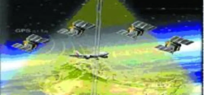
GAGAN System Certified for RNP0.1 Operations
The Directorate General of Civil Aviation (DGCA), India has provisionally certified the ambitious Satellite Based Augmentation System (SBAS) programme of India – GPS Aided Geo Augmented Navigation (GAGAN) system

Scholarship for Excellence in Geomatics Opens for Applications
Klamath Falls, ORE. – Oregon Tech values the generous donors who have created endowed scholarship funds and those who will do so in the future. David Evans and Associates offered a
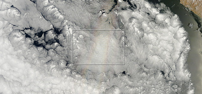
The Glory of the New Year
On December 21, 2013—the summer or winter solstice, depending on your hemisphere—the Moderate Resolution Imaging Spectroradiometer (MODIS) on NASA’s Terra satellite acquired this natural-color image. Off the Pacific coast of Peru, a

Happy New Year – 2014
Happy New Year May you have a heart of courage a mind of will and may you get whatever you desire always at your will The phenomenon expressed as

UD Partners with Research Group for Sensors Curriculum
The University of Dayton is adding new curriculum for sensors and intelligence by partnering with a local research group. UD and Riverside Research will offer a new course, Fundamentals of Remote Sensing & Technical

PhD Position: Dynamics of land use change and the consequences on water and nutrient cycles
The Karlsruhe Institute of Technology (KIT) and its Institute of Meteorology and Climate Research/ Atmospheric Environmental Research (KIT/IMK-IFU) in Garmisch-Partenkirchen, Germany, invite applications to the open position of a Ph.D.

Pakistan to use Satellite imagery to remove encroachments
Digitalisation and satellite imaging of Islamabad would help eradicate encroachments in the city and also facilitate future planning by using latest technology and techniques as well as it will minimise

SuperGIS Desktop 3.1a Helps Civil Construction Work and Financing Projects in Lima, Peru
Supergeo Technologies, a leading global provider of complete GIS mapping software and solutions, announced that INVERMET, Peru, employed SuperGIS Desktop 3.1a to produce and manage integrated spatial data and analyses
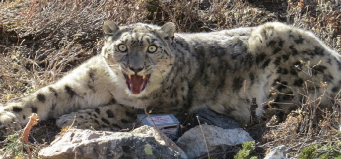
GPS Collaring to Protect Endangered Snow Leopard
Scientists in Nepal have taken a decisive step to save the endangered of snow leopard. Scientists are using satellite GPS technology for collaring of snow leopard. Snow leopard is
