
Posts From GIS Resources
Compressive Spectral Imaging for Accurate Remote Sensing by John Greer et al.
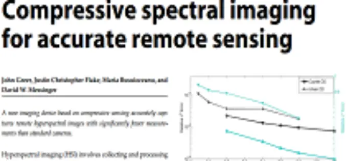
Compressive Spectral Imaging for Accurate Remote Sensing by John Greer, Justin Christopher Flake, Maria Busuioceanu and David W. Messinger Abstract: Hyperspectral imaging (HSI) involves collecting and processing information to generate a spatial map

One-year Postdoctoral Fellowship at the University of Bonn
The University of Bonn was founded almost 200 years ago and is considered to be one of Germany’s and indeed Europe’s most important institutes of higher education. As home of

Selection of Consultant for Geographic Information System(GIS) Mapping and Survey for Village Abadi in Noida
New Okhla Industrial Development Authority (hereinafter referred to as “NOIDA” or “the Authority”) intends to hire consultancy services for Geographic Information System Mapping and Survey of the abadi villages in Noida.
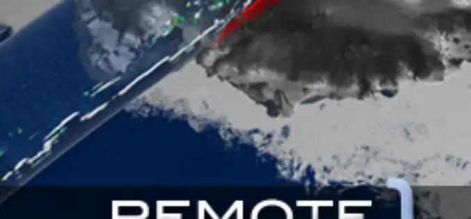
Fundamentals of Remote Sensing by Canada Center for Remote Sensing Remote Sensing
Fundamentals of Remote Sensing by Canada Center for Remote Sensing Remote Sensing Tutorial Download Fundamentals of Remote Sensing by Canada Center for Remote Sensing Remote Sensing Tutorial “This blog does
On the Great Day of 65th Republic Day, We extend warm greetings to all of you in India and abroad.
On the Great Day of 65th Republic Day, We extend warm greetings to all of you in India and abroad. It is a day to remember when India’s constitution

Dhakambe, the First Village to Mapped under E-gaothan
In recent news, Dhakambe a village located around 15 km from Nashik city, has become the first village in Maharashtra under the e-gaothan pilot project. E-gaothan is a land record
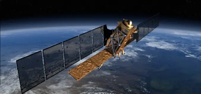
EU’s first Sentinel Earth Observation satellite to launch in April
A date has been announced for the roll-out of the European Union’s multi-billion-euro Earth observation project, Copernicus. Copernicus will fly a constellation of satellites known as the Sentinels to take
Gauhati University to Start GIS and RS in Undergraduate Courses
Gauhati University is now planning to implement, theoretical and practical approaches to the current syllabus of Geography for undergraduate students. Students studying geography as their major subject will get

Summer of Maps 2014 is Open!
Summer of Maps 2014 Summer of Maps is a three-month long fellowship giving student GIS analysts the opportunity to perform geospatial data analysis for local and national non-profit organizations. Azavea is organizing a fellowship
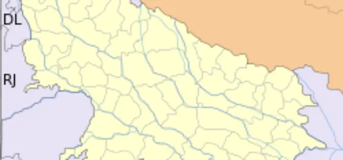
GIS to Modernize Irrigation System in Uttar Pradesh
In recent news Uttar Pradesh Government has launched second phase of the UP Water Sector Restructuring Project. The World Bank is funding the project with an interest free loan
