
Posts From GIS Resources
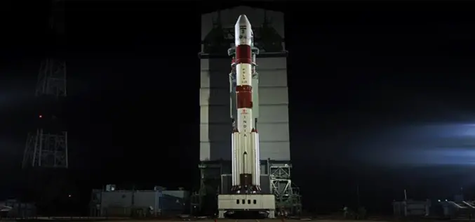
India’s First Mars Orbiter Mission Begun its Journey Successfully
India’s First Mars Orbiter Mission Heads its Journey Successfully to Mars for an about 400 million km. India’s first Mars orbiter Tuesday successfully began an around 780 million km long
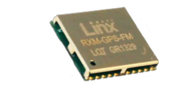
FM Series GPS Receiver Module in Small Package With High Accuracy
Linx Technologies Announces the Launch of High Performance FM GPS Receiver Module in a Small Package The FM Series GPS receiver module is a self-contained high-performance Global Positioning System receiver designed
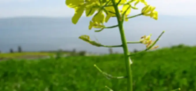
MRPC Launches Web GIS System for Mustard Crop
Mustard Research and Promotion Consortium (MRPC) Launches Web GIS System for Mustard Crop MRPC is a non-govemental, non-profit R&D organization registered as a Society under the Societies Registration Act
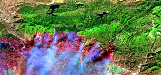
It’s Time to Give Firefighters a 21st century Tool: A Fire-Spotting Satellite
Scientists from UC Berkeley Develop Framework For Fire-Spotting Satellite UC Berkeley researchers have developed an initial framework for a satellite that could one day help locate emerging fires and
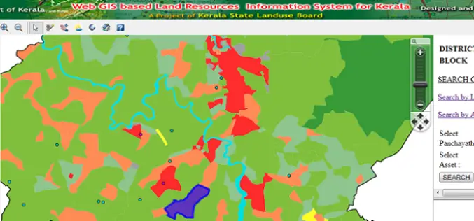
Kerala is the First State to Embark Land Resources Information System (LRIS) – India
India – Kerala is the First State to Embark Web Based Land Resources Information System (LRIS) The Land Resources Information System (LRIS) is an effort to streamline rural growth and

Garmin Introduces Tactical Inspired GPS Navigator Watch
Garmin Introduces Tactically Inspired GPS Navigator Watch Garmin International Inc., a unit of Garmin Ltd. (NASDAQ: GRMN), the global leader in satellite navigation, today announced tactix, a rugged high-sensitivity
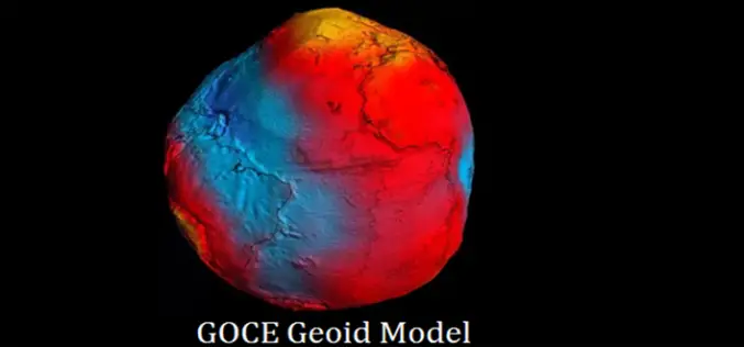
ESA’s GOCE Mission to Map Earth’s Gravity Draws to a Close
European Space Agency’s (ESA) GOCE Satellite Mission to Map Earth’s Gravity Draws to a Close After mapping variations in Earth’s gravity with unprecedented detail for four years, the GOCE satellite has run
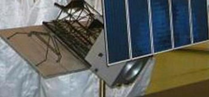
China Launches Remote Sensing Satellite
China Launches Successfully Remote Sensing Satellite – Yaogan XVIII China, Oct 29: The Yaogan XVIII remote-sensing satellite was successfully launched on the back of a Long March 2C carrier rocket from the Taiyuan Satellite
PhD Position @University of Queensland – Australia
Opportunity to do Ph.D. at University of Queensland – Australia The University of Queensland (UQ) is in the top 100 universities worldwide, measured through a number of major independent

Introduction to Quantum GIS Tutorial Version 0.8.0 by Gary Watry
Introduction to Quantum GIS Tutorial Version 0.8.0 – Gary Watry Download Introduction to Quantum GIS Tutorial Version 0.8.0 – Gary Watry “This blog does not host any contents or
