
Posts From GIS Resources
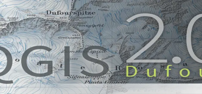
QGIS 2.0 ‘Dufour’ is Released!
QGIS 2.0 is Released for Windows, Mac & Linux! QGIS is the best GIS tool in the Free and open-source software (FOSS) community. QGIS is a user friendly Open Source Geographic

Ph.D. – Imperial College London
Citizen science for water resources management in the tropical Andes – Imperial College London Consistently rated amongst the world’s best universities, Imperial College London is a science-based institution with a reputation for
Navfree – Free GPS Navigation
Navfee – Crowd-Powered Navigation System! Navfee is the world’s first free crowd-powered navigation system. Unlike many other “free” satnavs Navfree offer you fully featured, non-timelimited turn-by-turn navigation. No hidden payments: after map
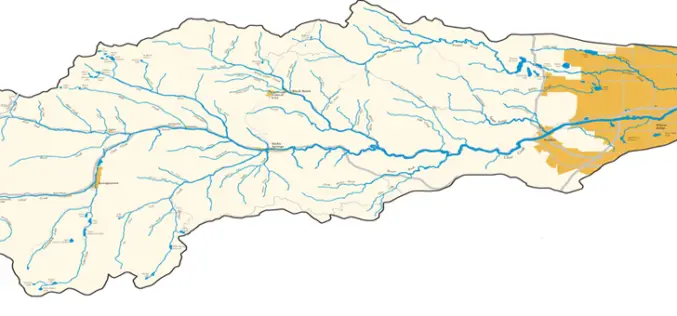
Watershed Analysis: What, How, Influencing Factors & Applications
Watershed Analysis A watershed is the area of land where all of the water that falls in it and drains off of it goes into the same place or common
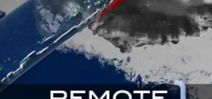
Remote Sensing and Geographical Information Systems – M. Anji Reddy
Remote Sensing and Geographical Information Systems by M. Anji Reddy Download Remote Sensing and Geographical Information Systems by M. Anji Reddy “This blog does not host any contents or data. All

GIS for Web Developers by Scott Davis
GIS for Web Developers by Scott Davis Download GIS for Web Developers – Scott Davis “This blog does not host any contents or data. All the files linked to other website and
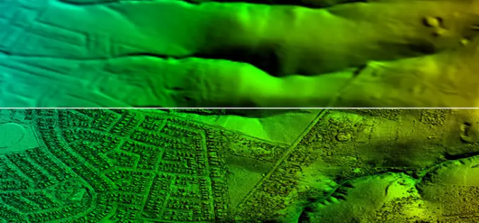
Confused Between DEM, DTM and DSM !
Submitted By: The term Digital Elevation Model (DEM), Digital Terrain Model (DTM) and Digital Surface Model (DSM) has several meanings and are not always understood properly, correctly or misinterpreted. In
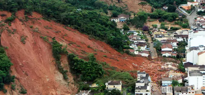
Seismic Signatures Signal Giant Landslide Alarm
In July 2013, researchers at Columbia University had an chance to test a landslide detection technique that uses signature long-wave seismic waves produced by large landslide to pick up the
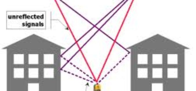
Errors can be Reduced in VRS
Using the concept of the virtual reference stations, certain systematic errors can be reduced considerably: 1. Ionosphere One of the main sources of errors is the Ionosphere . The electrons
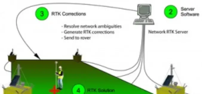
Challenges and Benefits of VRS
The main purpose of a VRS station is to reduce the baseline distance between the rover and the reference station in order to efficiently remove spatially correlated errors using differential
